
Amberley Wild Brooks
1.6 km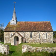
Greatham Church
1.7 km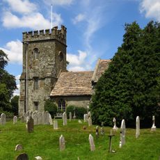
Church of St Peter, Parham
1 km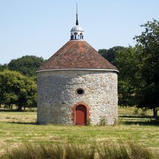
The Dovecot At Parham Park To The North East Of The House
1.1 km
The West Lodges Of Parham Park
274 m
Gean Cottage Pine Cottage
2.1 km
Swan Cottage
380 m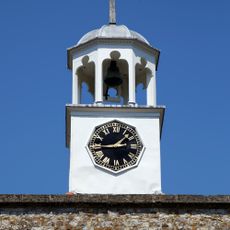
The Stables And Laundry Wing At Parham Park To The North Of The House
1 km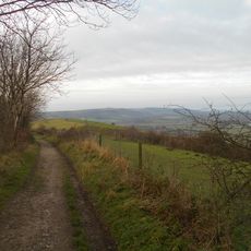
Rackham Banks: A cross dyke and Itford Hill style settlement on Rackham Hill, 900m SSE of Oldbottom Barn
1.9 km
The Orangery At Parham Park To North Of The Stables And Laundry Wing
1 km
Rackham Farmhouse
942 m
Skinners
819 m
Fighting Cocks
173 m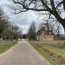
Douglas Lodge
1.8 km
Humphreys
1.3 km
School House
66 m
Bowl barrow on Wiggonholt Common, 290m south of Upperton's Barn
2 km
Barn To The East Of Gean Cottage And Pine Cottage
2.1 km
Parham Park SSSI
1.1 km
Springhead Farmhouse
1.5 km
Hail's view
1.7 km
Greatham Manor
1.7 km
Greatham Manor Farm Granary Store
1.7 km
Amberley Wildbrooks RSPB Reserve
1.2 km
An unenclosed Iron Age urnfield and associated remains on Rackham Hill, 900m SSE of Rackham Farm
1.9 km
Sparrite
1 km
The Roundhouse
983 m
Stable To South East Of Rackham Farmhouse
967 mReviews
Visited this place? Tap the stars to rate it and share your experience / photos with the community! Try now! You can cancel it anytime.
Discover hidden gems everywhere you go!
From secret cafés to breathtaking viewpoints, skip the crowded tourist spots and find places that match your style. Our app makes it easy with voice search, smart filtering, route optimization, and insider tips from travelers worldwide. Download now for the complete mobile experience.

A unique approach to discovering new places❞
— Le Figaro
All the places worth exploring❞
— France Info
A tailor-made excursion in just a few clicks❞
— 20 Minutes