
Mautturm
Location: St. Nikola an der Donau
GPS coordinates: 48.23197,14.93984
Latest update: October 24, 2025 18:55
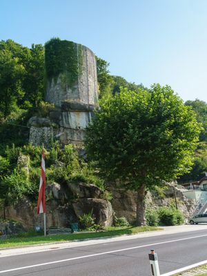
Burgruine Sarmingstein
316 m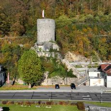
Sarmingstein tower ruin
2 m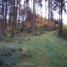
Burgruine Säbnich
1.8 km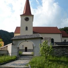
Saint Nicholas Church
2.5 km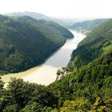
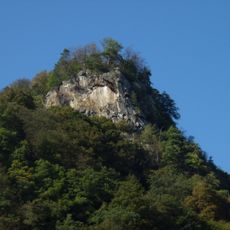
Predigtstuhl
665 m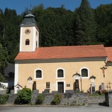
Kath. Filialkirche hl. Kilian und Friedhof
264 m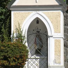
Flur-/Wegkapelle
2.4 km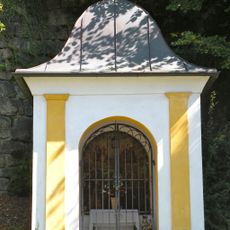
Strasserkapelle
478 m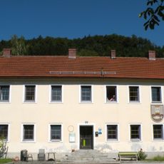
Spital/Ambulatorium, Rathaus/Gemeindeamt
2.2 km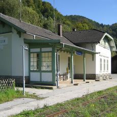
Bahnhof Sarmingstein
411 m
Wohnhaus, ehemalige Hammer- und Ankerschmiede Exenberger
193 m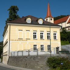
Volksschule
2.4 km
Schalenstein
906 m
Wayside shrine
2.2 km
Wayside shrine
1.2 km
Altbruch Aussichtsplattform
1.7 km
Memorial
1.7 km
Scenic viewpoint
610 m
Wayside shrine
1.9 km
Chapel, wayside shrine
1.9 km
Einsiedlerstein
2.2 km
Scenic viewpoint
648 m
Scenic viewpoint
586 m
Coniferous forest, wayside shrine, tree
2.3 km
Wayside shrine
2.4 km
Wayside shrine
2.4 km
Scenic viewpoint
525 m
Memorial
347 mReviews
Visited this place? Tap the stars to rate it and share your experience / photos with the community! Try now! You can cancel it anytime.
Discover hidden gems everywhere you go!
From secret cafés to breathtaking viewpoints, skip the crowded tourist spots and find places that match your style. Our app makes it easy with voice search, smart filtering, route optimization, and insider tips from travelers worldwide. Download now for the complete mobile experience.

A unique approach to discovering new places❞
— Le Figaro
All the places worth exploring❞
— France Info
A tailor-made excursion in just a few clicks❞
— 20 Minutes