
Ritterstein 218 "Ruine Karolingisches Gehöft"
Location: Hauenstein
Reference: 218
Inscription: Ruine Karolingisches Gehöft 750–850 Jetzt im Weiher P.W.V.
Made from material: sandstone
GPS coordinates: 49.18113,7.83860
Latest update: October 25, 2025 11:01
Hauenstein Paddelweiher-Hütte
209 m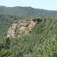
Backelstein
985 m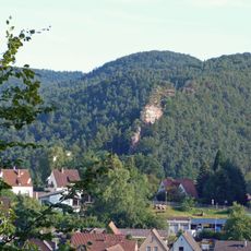
Burghalder
801 m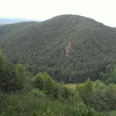
Hoher Kopf
972 m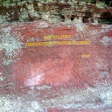
Ritterstein 220 "Backelstein"
1.1 km
Ritterstein 219 "Burghalder Fels"
610 m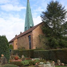
Protestant church in Hauenstein
1.3 km
Scenic viewpoint
1 km
Backelstein
1.1 km
Scenic viewpoint
863 m
Maifels
890 m
Wasgaufreibad Hauenstein
901 m
Bench, scenic viewpoint
931 m
Catholic church building, wayside cross, Christianity
946 m
Trifelsblick
676 m
Burghalder
632 m
Backelstein
1.1 km
91. Deutscher Wandertag, 29. Juli 1991
809 m
Lanzenfarther Felsen
749 m
Tante Paula
1 km
Hermann Hauck
808 m
Wayside shrine, Christianity, Catholic church building
1.2 km
Kahler Felsen
1.2 km
Gedenktafel am Steinbruch
1.3 km
Catholic church building, wayside shrine, Christianity
1.3 km
Scenic viewpoint
1.3 km
Wayside cross
1.3 km
Scenic viewpoint
699 mReviews
Visited this place? Tap the stars to rate it and share your experience / photos with the community! Try now! You can cancel it anytime.
Discover hidden gems everywhere you go!
From secret cafés to breathtaking viewpoints, skip the crowded tourist spots and find places that match your style. Our app makes it easy with voice search, smart filtering, route optimization, and insider tips from travelers worldwide. Download now for the complete mobile experience.

A unique approach to discovering new places❞
— Le Figaro
All the places worth exploring❞
— France Info
A tailor-made excursion in just a few clicks❞
— 20 Minutes