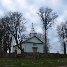
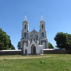
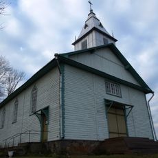
Gedanonių kalnas
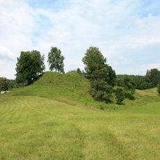
Gedanonių kalnas is a hill in the southern region around Aukštadvaris that rises to about 257 meters above sea level. Its gentle slopes are covered with trees, and from the summit you can see across forests, fields, and scattered villages stretching into the distance.
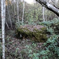
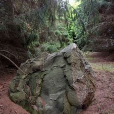
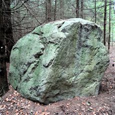
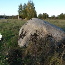
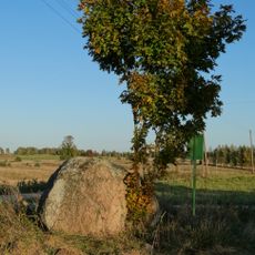
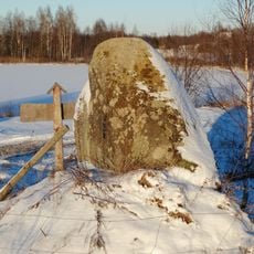
The hill was shaped during the last ice age about 18,000 years ago when retreating glaciers left behind deposits of clay, gravel, and stones. This glacial formation created the elevation that local people have known for generations.
The hill takes its name from the nearby village of Gedanonys and serves as a landmark recognized by local residents. For generations, people in the region have used its height and position to navigate the countryside.
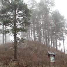
The hill is easy to reach by car and has paths leading to the summit. The climb is gentle and takes about half an hour to an hour, making it suitable for families with children.
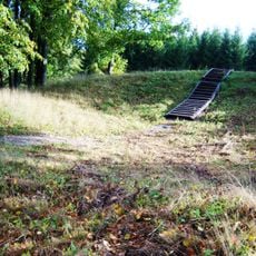
Nearby lies Velnio duobė, a small hole in the ground that visitors often notice and that sparks curiosity about the complex geology of the region. The hill itself is part of a highland that attracts geologists and naturalists interested in studying rare plant species found here.
The community of curious travelers
AroundUs brings together thousands of curated places, local tips, and hidden gems, enriched daily by 60,000 contributors worldwide.