
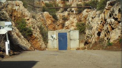
מנהרת רמיה
Location: מועצה אזורית מעלה יוסף
GPS coordinates: 33.09961,35.30589
Latest update: November 8, 2025 02:15

Shemurat Naẖal Sharakh
3.8 km
Givat Harabatim
1.8 km
Khallet el Hamra
2.4 km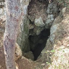
מערת רהב
2.5 km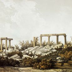
Belat temple
2.2 km
Har Rahav
2.7 km
Har Rahav
2.7 km
Har Belet
2.1 km
Mghâret ech Charqi
4.4 km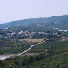
Har Rahav Viewpoint
2.4 km
Ḑahr al Jamal
1 km
Ḑahr al Jamal (tumoy sa bukid sa Israel, lat 33,10, long 35,30)
551 m
Shemurat Brikhot Shomera
3.3 km
Shemurat H̱orbat Kukhim
651 m
Shemurat Naẖal Ukkam
3.4 km
Shemurat Berekhat Har Manur
4 km
Me‘arat ‘Aqrav
4.6 km
אלמנצורה
4.5 km
Scenic viewpoint
1.7 km
חורבת עקרב
3.8 km
Talking Walls
1.9 km
חורבת חרון
3.8 km
תל שער
3.8 km
מצד רהב
3 km
חורבת כוכים
741 m
חורבת כציר
1.5 km
Archaeological site
4.3 km
חורבת שנונה
1.8 kmReviews
Visited this place? Tap the stars to rate it and share your experience / photos with the community! Try now! You can cancel it anytime.
Discover hidden gems everywhere you go!
From secret cafés to breathtaking viewpoints, skip the crowded tourist spots and find places that match your style. Our app makes it easy with voice search, smart filtering, route optimization, and insider tips from travelers worldwide. Download now for the complete mobile experience.

A unique approach to discovering new places❞
— Le Figaro
All the places worth exploring❞
— France Info
A tailor-made excursion in just a few clicks❞
— 20 Minutes