Wayside shrine
Location: Sankt Michael in Obersteiermark
GPS coordinates: 47.33438,15.02497
Latest update: November 15, 2025 17:25
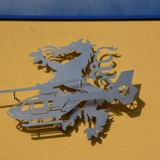
Christophorus 17
1.7 km
Saint Michael Church
439 m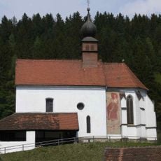
Filialkirche hl. Walpurgis, Sankt Michael in Obersteiermark
1.8 km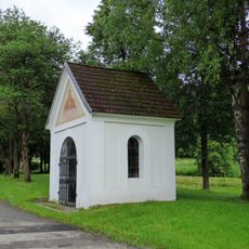
Hofkapelle Ortnerhof
2.1 km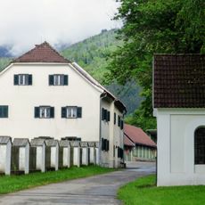
Ortnerhof Vorderlainsach
2.2 km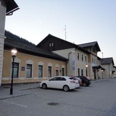
Bahnhof Sankt Michael in Obersteiermark
1.8 km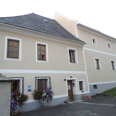
Pfarrhof
470 m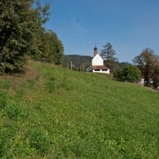
Frühmittelalterliches Gräberfeld bei St. Walpurgis
1.9 km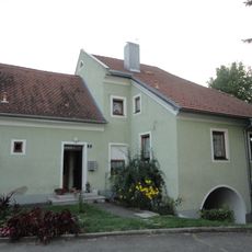
Ehem. Mesnerhaus
440 m
Wayside shrine
1.2 km
Wayside cross
3.1 km
Scenic viewpoint
2.8 km
Kriegerdenkmal
166 m
Place of worship, wayside shrine, house of prayer
2.8 km
Statue, Work of art
189 m
Eisenbichl Kapelle
695 m
Julius Raab Gedächtnisstätte
1.6 km
Wayside shrine
2.1 km
Scenic viewpoint
165 m
Memorial, commemorative plaque
474 m
Annabergdenkmal
370 m
Bracher-Kreuz
1.7 km
Wayside cross
1.7 km
Wayside shrine
1.5 km
Franzosen-Kreuz
1.7 km
Marktgemeinde St. Michael in Obersteiermark
1.3 km
Memorial, commemorative plaque
1.5 km
Memorial, commemorative plaque
2.1 kmReviews
Visited this place? Tap the stars to rate it and share your experience / photos with the community! Try now! You can cancel it anytime.
Discover hidden gems everywhere you go!
From secret cafés to breathtaking viewpoints, skip the crowded tourist spots and find places that match your style. Our app makes it easy with voice search, smart filtering, route optimization, and insider tips from travelers worldwide. Download now for the complete mobile experience.

A unique approach to discovering new places❞
— Le Figaro
All the places worth exploring❞
— France Info
A tailor-made excursion in just a few clicks❞
— 20 Minutes