Wayside shrine
Location: Klausen-Leopoldsdorf
GPS coordinates: 48.09741,16.00702
Latest update: November 3, 2025 15:27
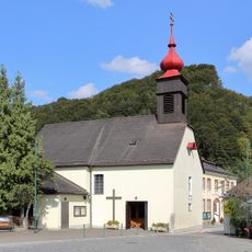
Pfarrkirche Klausen-Leopoldsdorf
1.2 km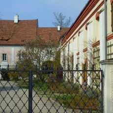
Gutshof Glashütten
4.3 km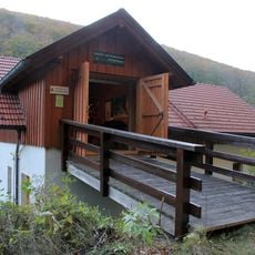
Holztrift und Forstmuseum Schöpflklause
4.3 km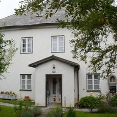
Pfarrhof
1.1 km
Lengbachl- und Hainbachklause, Klausen-Leopoldsdorf
1.4 km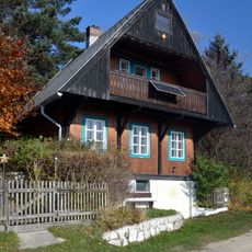
Wohnhaus
3.8 km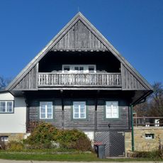
Wohnhaus
3.8 km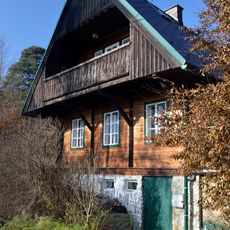
Wohnhaus
3.9 km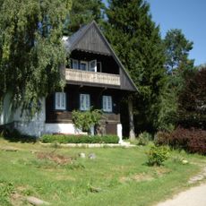
Wohnhaus
3.8 km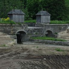
Hauptklause, Klausen-Leopoldsdorf
2.9 km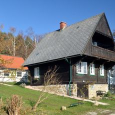
Wohnhaus
3.8 km
Wohnhaus
3.9 km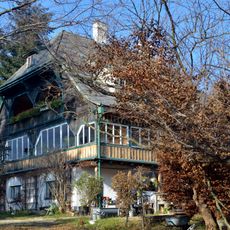
Wohnhaus
3.8 km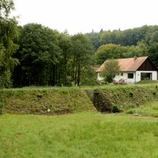
Lengbachlklause, Klausen-Leopoldsdorf
3.6 km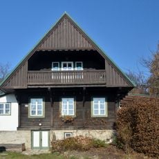
Wohnhaus
3.8 km
Hainbachklause, Klausen-Leopoldsdorf
2.1 km
Wayside shrine
1.2 km
Strutzenberger Kreuz
2.5 km
Wayside cross
3.5 km
Catholic church building, wayside cross, Christianity
1.8 km
Scenic viewpoint
3.7 km
Gallhoferkreuz
4.2 km
Flugzeugunglück 1944
4.2 km
Wayside shrine
1.1 km
Rupert Weg Kreuz
972 m
Wayside cross
4.4 km
Wayside cross
4.4 km
Christianity, Catholic church building, wayside cross
4.6 kmReviews
Visited this place? Tap the stars to rate it and share your experience / photos with the community! Try now! You can cancel it anytime.
Discover hidden gems everywhere you go!
From secret cafés to breathtaking viewpoints, skip the crowded tourist spots and find places that match your style. Our app makes it easy with voice search, smart filtering, route optimization, and insider tips from travelers worldwide. Download now for the complete mobile experience.

A unique approach to discovering new places❞
— Le Figaro
All the places worth exploring❞
— France Info
A tailor-made excursion in just a few clicks❞
— 20 Minutes