Wayside shrine
Location: Krems an der Donau
GPS coordinates: 48.40654,15.57733
Latest update: November 13, 2025 14:03
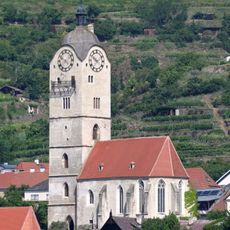
Frauenbergkirche Krems
576 m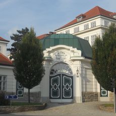
Tabakfabrik Krems-Stein
584 m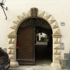
Holzingerhof, ehem. Brauhaus
588 m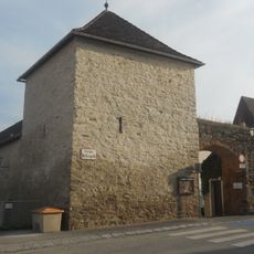
City walls of Stein an der Donau
552 m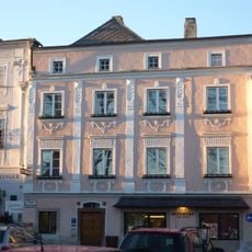
Apothekerhof
586 m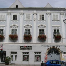
Einzingerhof
591 m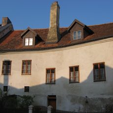
Wohnhaus
588 m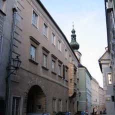
Eitzingerhof
593 m
Wohnhaus
570 m
Bürgerhaus
599 m
Steiner Landstraße 66
591 m
Ehem. Hauerhof
552 m
Bürgerhaus
595 m
Bürgerhaus
592 m
Bürgerhaus
588 m
Piwetz-Haus, ehem. Landesfürstliches Mauthaus
590 m
Großer Passauerhof
586 m
Kleiner Passauerhof
538 m
Bürgerhaus
586 m
Rebentor
490 m
Scenic viewpoint
244 m
Scenic viewpoint
281 m
Scenic viewpoint
259 m
Lauscherkreuz
271 m
Wayside shrine, Christianity
389 m
Braunsdorfer Kreuz
494 m
Wayside shrine
576 m
Heiliger Urban
461 mReviews
Visited this place? Tap the stars to rate it and share your experience / photos with the community! Try now! You can cancel it anytime.
Discover hidden gems everywhere you go!
From secret cafés to breathtaking viewpoints, skip the crowded tourist spots and find places that match your style. Our app makes it easy with voice search, smart filtering, route optimization, and insider tips from travelers worldwide. Download now for the complete mobile experience.

A unique approach to discovering new places❞
— Le Figaro
All the places worth exploring❞
— France Info
A tailor-made excursion in just a few clicks❞
— 20 Minutes