Wayside cross
Location: Obernberg am Inn
GPS coordinates: 48.32791,13.33902
Latest update: November 20, 2025 05:35
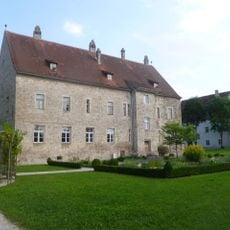
Burg Obernberg
670 m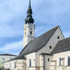
Kath. Pfarrkirche und Friedhof Obernberg am Inn
866 m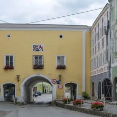
Rathaustor, Obernberg am Inn
825 m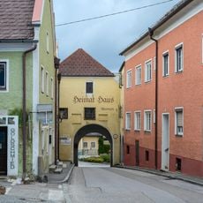
Heimathaus Obernberg am Inn
640 m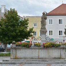
Brunnen, Obernberg am Inn
739 m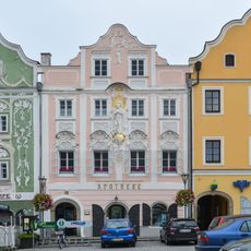
Walterische Behausung, Apotheke zur hl. Jungfrau, Obernberg am Inn
801 m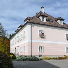
Bürgerhaus, Johann Peham's Schiffmeisterhaus samt 2 Wirtschaftsflügeln
860 m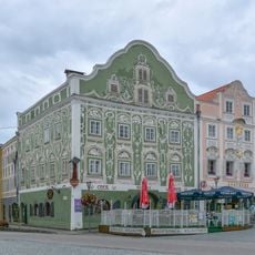
Oberdorf'sche Behausung, Wörndlehaus, Obernberg am Inn
803 m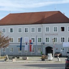
Ehem. Gasthof Bayerischer Hof, heute Rathaus
751 m
Bürgerhaus, Pallhammersche Behausung, ehem. auch Glaserhaus
709 m
Modler'sche Behausung, Obernberg am Inn
685 m
Ledererhaus
564 m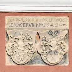
Wappenstein der ehem. Springer'schen Behausung
688 m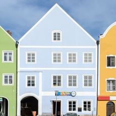
Bürgerhaus
674 m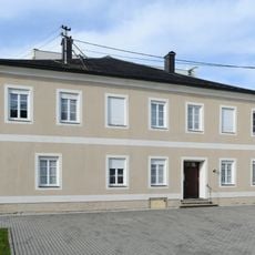
Pfarrhof
915 m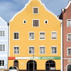
Bürgerhaus
677 m
Wohnhaus, ehem. Kolpinghaus
725 m
Ehem. Schatzl'sche Behausung (westlicher Teil)
902 m
Ufergasse 5
900 m
Bürgerhaus, sog. Dutzische Behausung
797 m
Seifensiederhaus
477 m
Bürgerhaus, Weilhartische Behausung, ehem. auch Pflieglhaus
818 m
Gasthaus Marktplatz 8, Obernberg am Inn
777 m
Ehem. Mauthaus
814 m
Ehem. Schatzl'sche Behausung (östlicher Teil)
904 m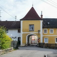
Ufertor
894 m
Pflegerspitz
564 m
War memorial, memorial
840 mReviews
Visited this place? Tap the stars to rate it and share your experience / photos with the community! Try now! You can cancel it anytime.
Discover hidden gems everywhere you go!
From secret cafés to breathtaking viewpoints, skip the crowded tourist spots and find places that match your style. Our app makes it easy with voice search, smart filtering, route optimization, and insider tips from travelers worldwide. Download now for the complete mobile experience.

A unique approach to discovering new places❞
— Le Figaro
All the places worth exploring❞
— France Info
A tailor-made excursion in just a few clicks❞
— 20 Minutes