Wayside shrine
Location: Sankt Johann in Tirol
GPS coordinates: 47.50814,12.46606
Latest update: November 3, 2025 14:35

Dekanatspfarrkirche Mariä Himmelfahrt (Sankt Johann in Tirol)
3.2 km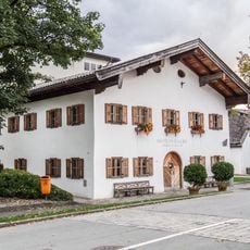
Museum St. Johann in Tirol
3.1 km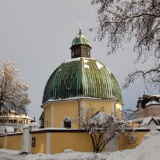
Antoniuskapelle
3.1 km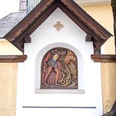
Kreuzweg und Georgs-Bildstock mit Friedhofsummauerung
3.1 km
Bankgebäude, Kooperatorenstöckl
3.2 km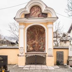
Friedhofskapelle, Beinhaus und Friedhofsmauer
3.2 km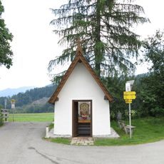
Mitterndorf-Kapelle
3.1 km
Wandmalereien am Pflegeheim St. Johann und Kapelle
3.1 km
Waschhäusl, St. Johann in Tirol
3.2 km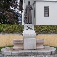
Wieshofer monument, St. Johann in Tirol
3.2 km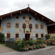
Bauernhaus Schwarzinger, St. Johann in Tirol
3.2 km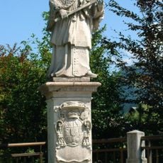
Figurenbildstock hl. Johannes Nepomuk
3.1 km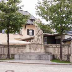
Kriegerdenkmal
3.2 km
Marktgemeindeamt
3.1 km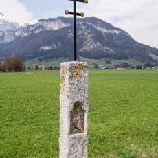
Bildstock, Steinstele
2.6 km
Waschhütte mit Backofen, Vorderegg
2.8 km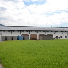
Panzerkaserne, Objekt Nr. 1
2.8 km
Polytechnische Schule mit Kulturzentrum
3.1 km
Steinstele Reitham
1.7 km
Leonhardsbrunnen Oberhofen
2.5 km
Harschbichlbahn
3.1 km
Wayside cross
3 km
Wayside shrine
2.6 km
Mountaincartbahn
3.2 km
Wayside shrine, Christianity
2.3 km
Eifersbacher Wasserfall
1.5 km
Eiffersbacher Wasserfall
1.5 km
Christianity, Catholic church building, wayside cross
836 mReviews
Visited this place? Tap the stars to rate it and share your experience / photos with the community! Try now! You can cancel it anytime.
Discover hidden gems everywhere you go!
From secret cafés to breathtaking viewpoints, skip the crowded tourist spots and find places that match your style. Our app makes it easy with voice search, smart filtering, route optimization, and insider tips from travelers worldwide. Download now for the complete mobile experience.

A unique approach to discovering new places❞
— Le Figaro
All the places worth exploring❞
— France Info
A tailor-made excursion in just a few clicks❞
— 20 Minutes