Wayside cross
Location: Pötting
Inscription: INRI
GPS coordinates: 48.28562,13.77529
Latest update: November 17, 2025 01:54
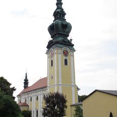
Pfarrkirche Mariä Himmelfahrt, Kallham
4.5 km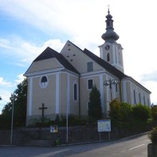
Pfarrkirche Taufkirchen an der Trattnach
4.7 km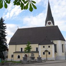
Pfarrkirche Michaelnbach
4.2 km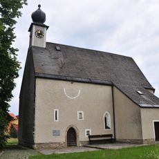
Filialkirche Oberwödling
3.6 km
Schloss Bruck
4.7 km
Pfarrkirche hl. Florian, Neumarkt im Hausruckkreis
3.9 km
Kalvarienbergkirche
3.2 km
Cemetery Neumarkt im Hausruckkreis, Upper Austria
3.6 km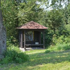
Kalvarienberg in Neumarkt im Hausruckkreis
3.3 km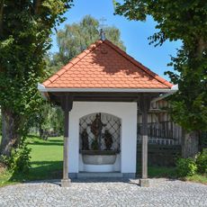
Dreifaltigkeitskapelle
3.8 km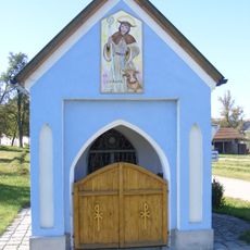
Wegkapelle Pulsamer
2.5 km
Zwei Eichen an der Innviertler Bundesstraße
3.7 km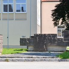
Kriegerdenkmal
3.6 km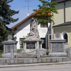
Kriegerdenkmal für die Gefallenen des Ersten Weltkriegs
4.2 km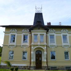
Pfarrhof, ehem. Pfarrgutshof
4.5 km
Eichengruppe von Taufkirchen
4.2 km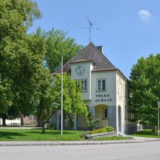
Volksschule
3.6 km
Anton Wurmb Linde
3.8 km
Catholic church building, wayside cross, Christianity
2.9 km
Freibad
4.6 km
Wayside shrine
4.4 km
Vogelhaus Kleintierzuchtverein Neumarkt-Kallham
3.4 km
Kriegerdenkmal Neumarkter Turnverein
3.1 km
Deciduous forest, wayside cross, tree
478 m
Geografischer Mittelpunkt des Bezirkes Grieskirchen
1.8 km
Geografischer Mittelpunkt von Taufkirchen/Trattnach
4.6 km
Kornfeldner Kreuz
4.6 km
Wayside shrine
4.6 kmReviews
Visited this place? Tap the stars to rate it and share your experience / photos with the community! Try now! You can cancel it anytime.
Discover hidden gems everywhere you go!
From secret cafés to breathtaking viewpoints, skip the crowded tourist spots and find places that match your style. Our app makes it easy with voice search, smart filtering, route optimization, and insider tips from travelers worldwide. Download now for the complete mobile experience.

A unique approach to discovering new places❞
— Le Figaro
All the places worth exploring❞
— France Info
A tailor-made excursion in just a few clicks❞
— 20 Minutes