
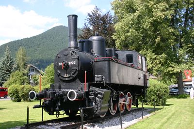
92.2220
Location: Puchberg am Schneeberg
GPS coordinates: 47.79172,15.91353
Latest update: November 3, 2025 18:05
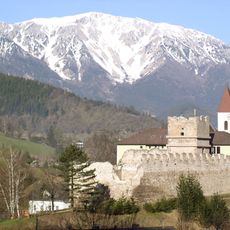
Burgruine Puchberg
1.3 km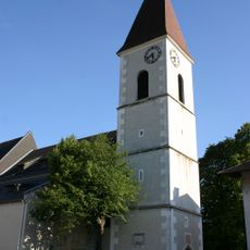
Pfarrkirche Puchberg am Schneeberg
660 m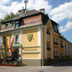
Gemeindeamt Puchberg am Schneeberg
247 m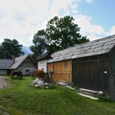
Schneeberger Sägemühle/Venezianische Säge
817 m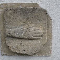
Bildstock sog. Römerhand
1.2 km
999.01
294 m
Schlesinger-Gedenktafel
893 m
Memorial
295 m
Bench, scenic viewpoint
345 m
Theresienfelsen
391 m
Geierwand
534 m
Bench, scenic viewpoint
620 m
Memorial, war memorial
636 m
Wayside shrine
218 m
Aussichtsstand
213 m
Scenic viewpoint
825 m
Wayside shrine
291 m
Scenic viewpoint, bench
894 m
Allelujahöhle
932 m
Waldandacht
1 km
Wayside shrine
1.1 km
Frey-Gedenktafel
205 m
Wayside shrine, Christianity
64 m
Wayside shrine
1.3 km
Voka
1.3 km
Sculpture, Work of art
1.3 km
Work of art, sculpture
1.4 km
Wayside cross
1.5 kmReviews
Visited this place? Tap the stars to rate it and share your experience / photos with the community! Try now! You can cancel it anytime.
Discover hidden gems everywhere you go!
From secret cafés to breathtaking viewpoints, skip the crowded tourist spots and find places that match your style. Our app makes it easy with voice search, smart filtering, route optimization, and insider tips from travelers worldwide. Download now for the complete mobile experience.

A unique approach to discovering new places❞
— Le Figaro
All the places worth exploring❞
— France Info
A tailor-made excursion in just a few clicks❞
— 20 Minutes