Wayside shrine
Location: Heidenreichstein
GPS coordinates: 48.84382,15.11804
Latest update: November 11, 2025 13:58
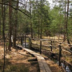
Naturpark Heidenreichsteiner Moor
2.1 km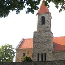
Saint John the Baptist Church
1.3 km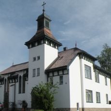
Versöhnungskirche Heidenreichstein
2.1 km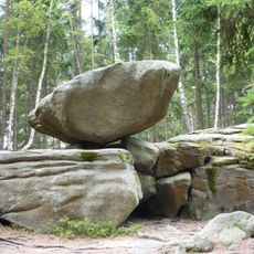
Hängender Stein
2.1 km
House of the Moor
2.1 km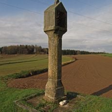
Bildstock
1.4 km
Neuteichberg
924 m
Winkelauer Berg
1.5 km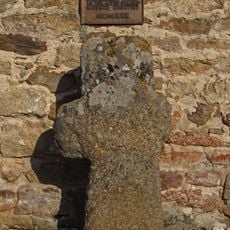
Faltersäule
1.3 km
Waldameisenhaufen
2.1 km
Haupt-Platz
2.1 km
Kirchenstein
1.4 km
Rehwildfutterautomat
2 km
Rauhfutterraufe
2 km
Alpaka Gehege
2.1 km
Naturparkschule
2.1 km
Rauhfutterraufe m. Futterautomat
1.9 km
Miniaturkapelle
2.1 km
Naturpark Heidenreichsteiner Moor
2.1 km
Obelisk
2.2 km
Wayside cross
2 km
Brucknerkreuz
704 m
Wayside cross
1.4 km
Memorial, war memorial
1.3 km
Wayside shrine
1.3 km
Wayside cross
1 km
Wayside shrine
1.2 km
Marterl
2.1 kmReviews
Visited this place? Tap the stars to rate it and share your experience / photos with the community! Try now! You can cancel it anytime.
Discover hidden gems everywhere you go!
From secret cafés to breathtaking viewpoints, skip the crowded tourist spots and find places that match your style. Our app makes it easy with voice search, smart filtering, route optimization, and insider tips from travelers worldwide. Download now for the complete mobile experience.

A unique approach to discovering new places❞
— Le Figaro
All the places worth exploring❞
— France Info
A tailor-made excursion in just a few clicks❞
— 20 Minutes