Wayside shrine
Location: Obdach
Inception: January 1, 1891
GPS coordinates: 47.08436,14.65213
Latest update: November 17, 2025 03:15
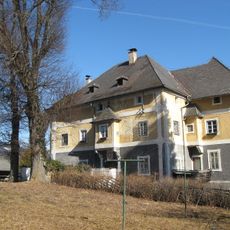
Schloss Admontbichl
2.5 km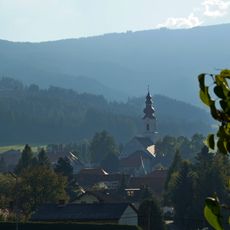
Pfarrkirche hl. Ägydius, Obdach
3.5 km
Friedhof christlich, Aufbahrungshalle
3.5 km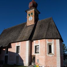
Pfarrkirche St. Wolfgang, Kienberg
2 km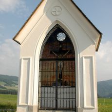
Kothmayrkapelle Nord
3.3 km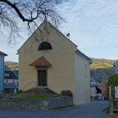
Ehem. Karner, Johanneskapelle
3.6 km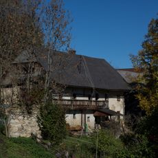
Bauernhaus Scheiber, Kienberg
3.2 km
Wirtschaftsgebäude, Schloss Admontbichl
2.5 km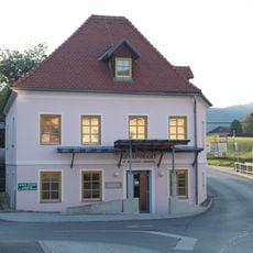
Gemeindeamt St. Wolfgang, Obdach
3.6 km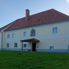
Pfarrhof
3.6 km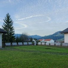
Kriegerdenkmal
3.5 km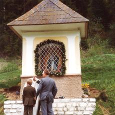
Buchmoarkreuz
2.5 km
Ehemalige Schule Obdach
3.5 km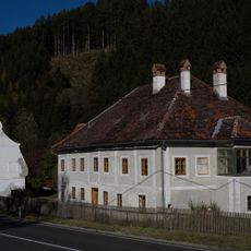
Hammerherrenhaus mit Kohlbarren, Kathal
2.8 km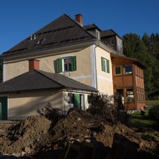
Pfarrhof
1.9 km
Wayside shrine
2.8 km
Maria in der Lärche
3.3 km
Scenic viewpoint
3.5 km
Wayside shrine
1.4 km
Wayside shrine
1.2 km
Wayside shrine
2.4 km
Wayside shrine
3.3 km
Wayside cross
2.3 km
Wayside shrine
2.5 km
Wayside cross
3.4 km
Stefferbauerkreuz
2.4 km
Wayside shrine
2.4 km
Wayside shrine
2 kmReviews
Visited this place? Tap the stars to rate it and share your experience / photos with the community! Try now! You can cancel it anytime.
Discover hidden gems everywhere you go!
From secret cafés to breathtaking viewpoints, skip the crowded tourist spots and find places that match your style. Our app makes it easy with voice search, smart filtering, route optimization, and insider tips from travelers worldwide. Download now for the complete mobile experience.

A unique approach to discovering new places❞
— Le Figaro
All the places worth exploring❞
— France Info
A tailor-made excursion in just a few clicks❞
— 20 Minutes