Bildstock
Location: Angern an der March
GPS coordinates: 48.41087,16.83578
Latest update: November 14, 2025 17:15
The Chapel of St. Roch
1.1 km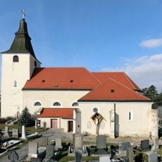
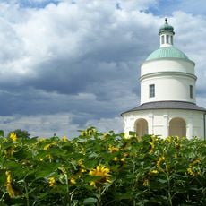
St. Georg
372 m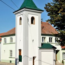
Ortskapelle Grub
770 m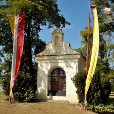
Maria-Hilf Chapel
1.5 km
Museum Stillfried
552 m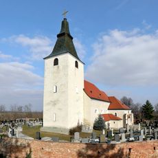
Kirchhof
382 m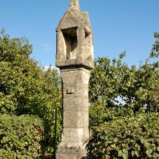
Tabernakelpfeiler
0 m
Befestigte Höhensiedlung Kirchenberg
344 m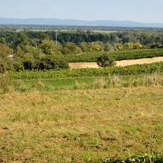
Befestigte Höhensiedlung Kirchenberg
358 m
Volksschule und Museum
551 m
LI/12/A-120 Z
1.5 km
Wayside shrine
294 m
Wayside cross
138 m
Hl. Urban
681 m
Weinpresse
1.2 km
Wayside shrine
913 m
Wayside cross
246 m
War memorial, memorial
336 m
60-jähriges Regierungsjubiläum Franz Josef
301 m
Scenic viewpoint
696 m
Wayside shrine
218 m
Wayside cross
364 m
Wayside cross
374 m
Wayside shrine
1.5 km
Sv. Florián
1.6 km
Wayside cross
1.5 km
Panna Mária Celenská
1.6 km
Kules Genius
1.1 kmReviews
Visited this place? Tap the stars to rate it and share your experience / photos with the community! Try now! You can cancel it anytime.
Discover hidden gems everywhere you go!
From secret cafés to breathtaking viewpoints, skip the crowded tourist spots and find places that match your style. Our app makes it easy with voice search, smart filtering, route optimization, and insider tips from travelers worldwide. Download now for the complete mobile experience.

A unique approach to discovering new places❞
— Le Figaro
All the places worth exploring❞
— France Info
A tailor-made excursion in just a few clicks❞
— 20 Minutes