Marterl
Location: St. Veit an der Gölsen
GPS coordinates: 48.05954,15.65095
Latest update: November 3, 2025 14:38
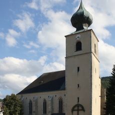
Pfarrkirche St. Veit an der Gölsen
2.3 km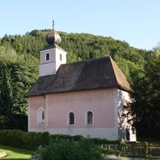
Kath. Filialkirche hl. Johannes der Täufer
3.7 km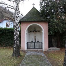
Flur-/Wegkapelle
3.7 km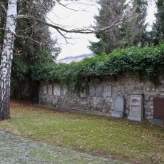
Ehem. Friedhof
3.7 km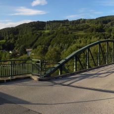
Traisenbrücke, Traisen
3.1 km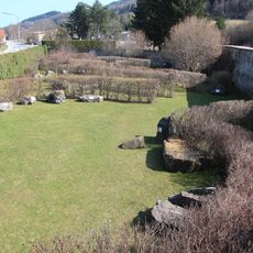
Ehem. Kirchhofmauer
2.3 km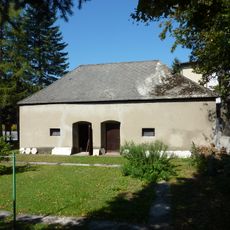
Nebengebäude des Pfarrhofs
2.3 km
Memorial, commemorative plaque
2.5 km
Wayside shrine
2.9 km
Franzosenkreuz
1.9 km
Steingarten
2.3 km
Wayside cross
2.4 km
Wayside cross
2.5 km
Marterl Zehethofer Höhe
1.8 km
Marterl
2.5 km
Wayside shrine
2.6 km
Großriegler-Kapelle
2.6 km
Wayside shrine
2.9 km
Wayside cross
2.2 km
Wayside shrine
1.6 km
Work of art, sculpture
3.2 km
Chapel, place of worship, Christianity, house of prayer
3.3 km
Work of art, mural
3.7 km
Wayside shrine
1.6 km
Wayside shrine
1.1 km
Lechner-Kapelle
583 m
Memorial
3.7 km
Wayside shrine
3.8 kmReviews
Visited this place? Tap the stars to rate it and share your experience / photos with the community! Try now! You can cancel it anytime.
Discover hidden gems everywhere you go!
From secret cafés to breathtaking viewpoints, skip the crowded tourist spots and find places that match your style. Our app makes it easy with voice search, smart filtering, route optimization, and insider tips from travelers worldwide. Download now for the complete mobile experience.

A unique approach to discovering new places❞
— Le Figaro
All the places worth exploring❞
— France Info
A tailor-made excursion in just a few clicks❞
— 20 Minutes