Wayside cross
Location: Mannersdorf an der Rabnitz
GPS coordinates: 47.43821,16.56287
Latest update: November 16, 2025 16:44
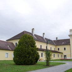
Kloster Marienberg, Burgenland
1.7 km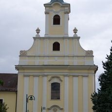
Pfarrkirche hl. Georg und Mariae Himmelfahrt, Klostermarienberg
1.7 km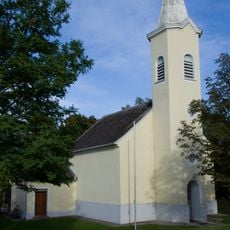
Kirche Kleinmutschen
2.8 km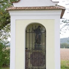
Rochuskapelle Unterloisdorf
1.8 km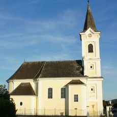
Kath. Filialkirche hl. Radegundis, Unterloisdorf
2.3 km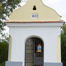
Annakapelle, Unterloisdorf
2.7 km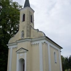
Kapelle hl. Rosalia, Mannersdorf an der Rabnitz
2.9 km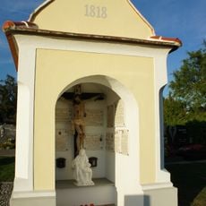
Friedhofskapelle
2.3 km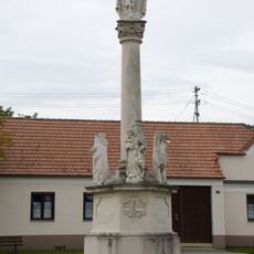
Gnadenstuhl, Klostermarienberg
1.8 km
Pfarrhof Mannersdorf an der Rabnitz
3 km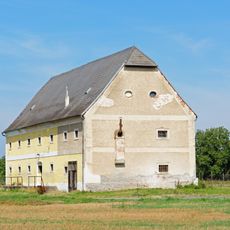
Schüttkasten Mannersdorf an der Rabnitz
2.4 km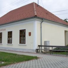
Dorfzentrum, Schule, Unterloisdorf
2.1 km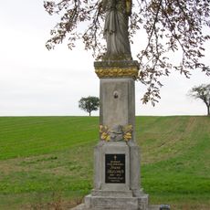
Figurenbildstock hl. Josef, Frankenau
3 km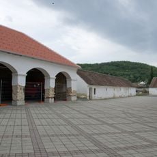
Marienhof, Klostermarienberg
1.7 km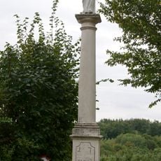
Antonisäule, Klostermarienberg
2.5 km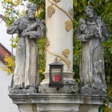
Gnadenstuhl, Mannersdorf an der Rabnitz
3 km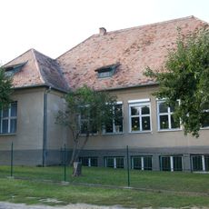
Volksschule Kleinmutschen
2.9 km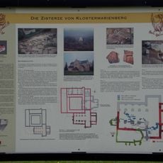
Ehem. romanische Klosteranlage
1.7 km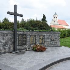
Kriegerdenkmal Klostermarienberg
1.8 km
Work of art, sculpture
1.8 km
Work of art
1.8 km
Kriegerdenkmal
2.9 km
Wayside cross
2.8 km
Wayside shrine
2.5 km
Memorial stone, memorial
1.7 km
Memorial stone, memorial
1.8 km
Bildeiche
2.1 km
Bildeiche
3 kmReviews
Visited this place? Tap the stars to rate it and share your experience / photos with the community! Try now! You can cancel it anytime.
Discover hidden gems everywhere you go!
From secret cafés to breathtaking viewpoints, skip the crowded tourist spots and find places that match your style. Our app makes it easy with voice search, smart filtering, route optimization, and insider tips from travelers worldwide. Download now for the complete mobile experience.

A unique approach to discovering new places❞
— Le Figaro
All the places worth exploring❞
— France Info
A tailor-made excursion in just a few clicks❞
— 20 Minutes