Wayside cross
Location: Windhaag bei Freistadt
GPS coordinates: 48.58612,14.56910
Latest update: November 3, 2025 20:01
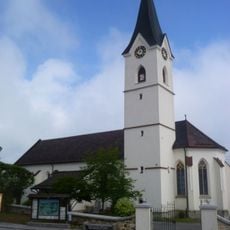
Pfarrkirche Windhaag bei Freistadt
498 m
Green Belt Center
533 m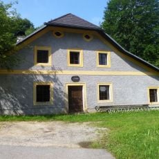
Freilichtmuseum Hofwieshammer
843 m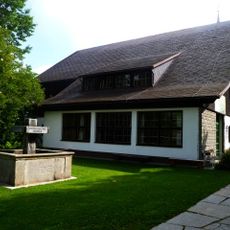
Waldmuseum, Mühlviertler Waldhaus
527 m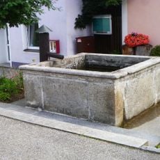
Brunnen
453 m
Pomník u Cetvin
2 km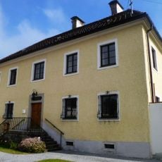
Pfarrhof
236 m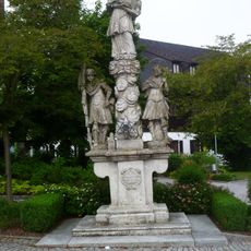
Figurenbildstock hl. Johannes Nepomuk mit Florian und Donatus
490 m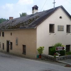
Altes Schulhaus, Ehem. Bruckner-Schule
515 m
Schanze Mairspindt
2 km
Wayside shrine
1.2 km
Memorial
2 km
Catholic church building, wayside cross, Christianity
857 m
Bildstock Dreiling
646 m
Wettershuttle
1.6 km
Dreistein
1.7 km
Mühlsteinuhr
1.9 km
Wayside shrine
642 m
Jankuskirche
2 km
Wayside shrine
733 m
Scenic viewpoint
2 km
Memorial, war memorial
513 m
St. Hubertus
2.2 km
Rauschender Felsen
2.2 km
Panoramablick
2.2 km
Wayside shrine, Christianity
2.2 km
Wayside shrine
2.2 km
Wayside cross
2.3 kmReviews
Visited this place? Tap the stars to rate it and share your experience / photos with the community! Try now! You can cancel it anytime.
Discover hidden gems everywhere you go!
From secret cafés to breathtaking viewpoints, skip the crowded tourist spots and find places that match your style. Our app makes it easy with voice search, smart filtering, route optimization, and insider tips from travelers worldwide. Download now for the complete mobile experience.

A unique approach to discovering new places❞
— Le Figaro
All the places worth exploring❞
— France Info
A tailor-made excursion in just a few clicks❞
— 20 Minutes