Wayside shrine
Location: Krems an der Donau
Inscription: St. Hubertus 1982
GPS coordinates: 48.42755,15.56535
Latest update: November 13, 2025 10:57
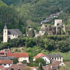
Burgruine Rehberg
1.5 km
Pfarrkirche Imbach
1.6 km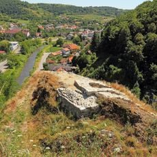
Burgruine Imbach
1.4 km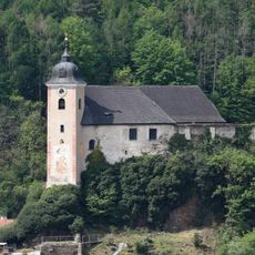
Pfarrkirche hl. Johannes der Täufer, Rehberg
1.5 km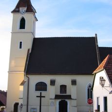
Pfarrkirche Egelsee
1.1 km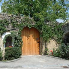
Hauerhaus mit Rauchküche
1.6 km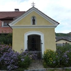
Marienkapelle Imbach
1.5 km
Motorrad-Museum Krems-Egelsee
1 km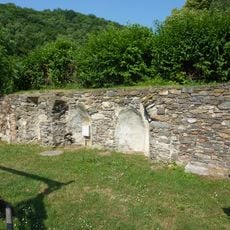
Dominikanerinnenkloster Imbach
1.6 km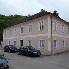
Pfarrhof
1.5 km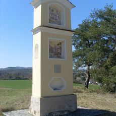
Brüenauer Kreuz
1.6 km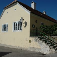
Wohn- und Kanzleitrakt des Pfarrhofes
1.1 km
Figur hl. Florian
1.6 km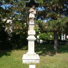
Figur hl. Johannes Nepomuk
1.7 km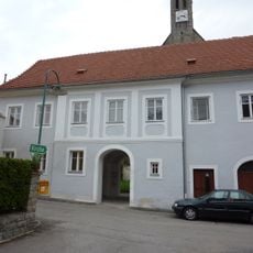
Ehem. Pfarrhof
1.6 km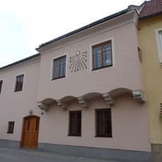
Bürgerhaus
1.6 km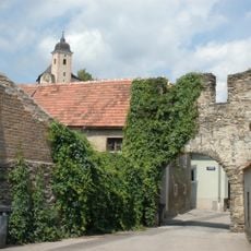
Befestigungsanlage
1.6 km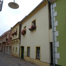
Bürgerhaus
1.6 km
Dominikanerinnenkloster Imbach, Österreich
1.6 km
Scenic viewpoint
1.4 km
Stele, memorial
1 km
Neuherz-Kreuz
986 m
Wayside cross
1.5 km
Ronederkreuz
1.2 km
Josef Maier Kreuz
1.1 km
Hl. Florian
1.5 km
Rinnerkreuz
457 m
Memorial
1 kmReviews
Visited this place? Tap the stars to rate it and share your experience / photos with the community! Try now! You can cancel it anytime.
Discover hidden gems everywhere you go!
From secret cafés to breathtaking viewpoints, skip the crowded tourist spots and find places that match your style. Our app makes it easy with voice search, smart filtering, route optimization, and insider tips from travelers worldwide. Download now for the complete mobile experience.

A unique approach to discovering new places❞
— Le Figaro
All the places worth exploring❞
— France Info
A tailor-made excursion in just a few clicks❞
— 20 Minutes