Wayside shrine
Location: Neukirchen an der Enknach
GPS coordinates: 48.17202,13.04664
Latest update: November 19, 2025 01:03
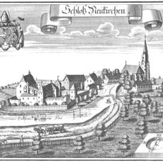
Schloss Neukirchen an der Enknach
789 m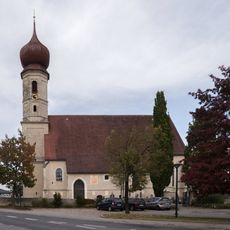
Pfarrkirche St. Georgen an der Mattig
5.3 km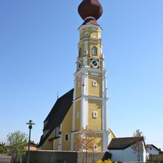
Pfarrkirche Handenberg
5.1 km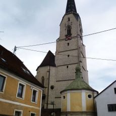
Pfarrkirche Mariä Himmelfahrt, Neukirchen an der Enknach
789 m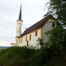
Ehem. Schlosskapelle Mariä Himmelfahrt
5.4 km
Sog. Estherbauerkapelle, Zum blutenden Heiland
2.4 km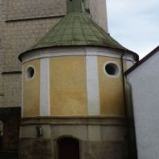
Sebastianskapelle
804 m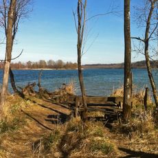
Salzach und Unterer Inn
3.4 km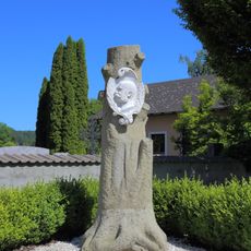
Persönlichkeitsdenkmal, Kaiserdenkmal
5.4 km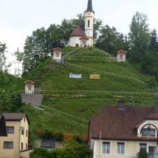
Kreuzweg
5.5 km
Drei Linden beim Gasthaus Pommer
3.7 km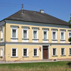
Pfarrhof
5.2 km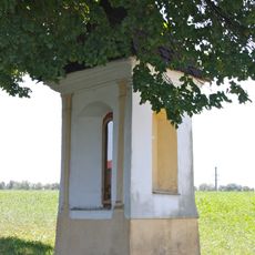
Bildstock
5.3 km
Linde in Burgkirchen
4.9 km
Former Krämerhaus and Magazin, Neukirchen an der Enknach
762 m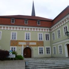
Gemeindeamt
744 m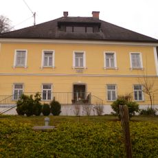
Pfarrhof und Gartenmauer
5.5 km
Eiche von Mitternberg
3.6 km
Hügelgräbergruppe Heitzing-Reith
5.1 km
Linde in Paßberg
3.8 km
Nussbaum in Eisenhub
3.4 km
Harrer Eiche
4.6 km
Linde in Neukirchen an der Enknach
1.9 km
Schlossberg
5.4 km
Tauflingerkapelle
4.2 km
Wayside cross
4.9 km
Wayside shrine
5.1 km
Wayside shrine
5 kmReviews
Visited this place? Tap the stars to rate it and share your experience / photos with the community! Try now! You can cancel it anytime.
Discover hidden gems everywhere you go!
From secret cafés to breathtaking viewpoints, skip the crowded tourist spots and find places that match your style. Our app makes it easy with voice search, smart filtering, route optimization, and insider tips from travelers worldwide. Download now for the complete mobile experience.

A unique approach to discovering new places❞
— Le Figaro
All the places worth exploring❞
— France Info
A tailor-made excursion in just a few clicks❞
— 20 Minutes