Wayside shrine
Location: Ottenschlag im Mühlkreis
GPS coordinates: 48.46420,14.38928
Latest update: November 13, 2025 09:53
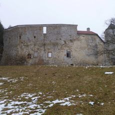
Burgruine Reichenau
3.3 km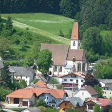
Parish Church Hirschbach
3.1 km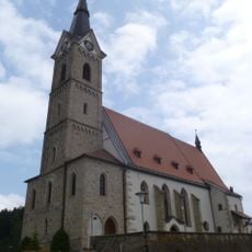
St. John the Baptist church in Reichenau im Mühlkreis
3 km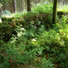
Burgstall Kernegg
2.2 km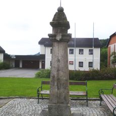
Pranger
3 km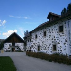
Hirschbacher Bauernmöbelmuseum Edlmühle
3.1 km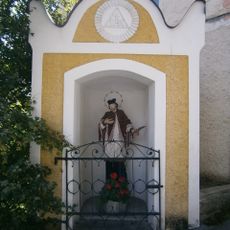
Hl. Johannes Nepomuk-Kapelle
3.1 km
Ehem. Mühle, Zehentkasten bei Bauernhof Lamm
3.5 km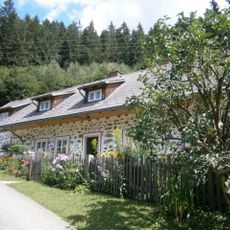
Zülow-Haus und Teile des Inventars
3.3 km
Pfarrhof
3.1 km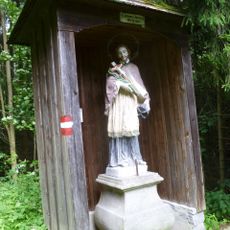
Figurenbildstock hl. Johannes Nepomuk
3.3 km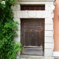
Portal
3.1 km
Stadler-Wiese
1.8 km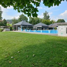
Freibad Reichenau
2.9 km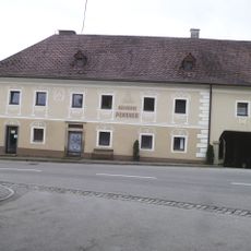
Bürgerhaus
3.1 km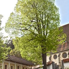
Linde in Hirschbach
3.1 km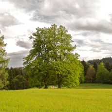
Zwei Linden in Haibach im Mühlkreis
3.3 km
Munterlinde
2.8 km
Teufelsbrünnl
877 m
Gusenursprung
3.1 km
Freistehender Backofen
2 km
Teufelsstein
3.4 km
Fernrohr
2.8 km
Weitblick Hoad
2.2 km
Ausblick Kräutergarten
2.9 km
Wayside cross
2.1 km
Wayside cross
3.2 km
Wayside shrine
2 kmReviews
Visited this place? Tap the stars to rate it and share your experience / photos with the community! Try now! You can cancel it anytime.
Discover hidden gems everywhere you go!
From secret cafés to breathtaking viewpoints, skip the crowded tourist spots and find places that match your style. Our app makes it easy with voice search, smart filtering, route optimization, and insider tips from travelers worldwide. Download now for the complete mobile experience.

A unique approach to discovering new places❞
— Le Figaro
All the places worth exploring❞
— France Info
A tailor-made excursion in just a few clicks❞
— 20 Minutes