
Signpost, wayside shrine
Location: Ardning
Operator: Naturfreunde Ardning
GPS coordinates: 47.59122,14.36458
Latest update: November 16, 2025 09:45
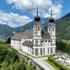
Wallfahrtskirche Frauenberg
2.7 km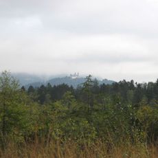
Pürgschachenmoos
1.8 km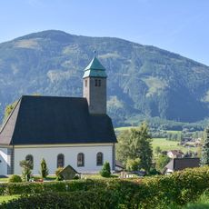
Filialkirche Ardning
220 m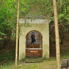
Waldkapelle
3 km
Friedhof Frauenberg
2.7 km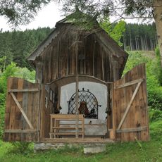
Brandl-Kapelle
1.3 km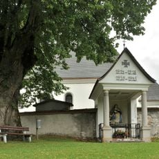
Kriegerdenkmal
201 m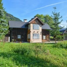
Bauernhaus
1 km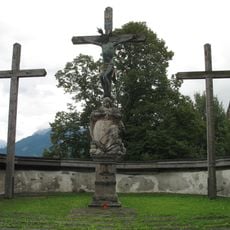
Calvary Frauenberg
2.9 km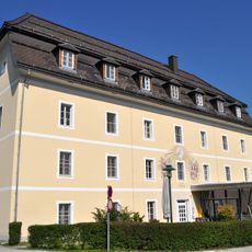
Pflegeheim St. Benedikt
2.7 km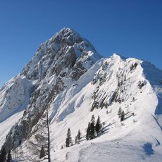
Frauenmauer
3.8 km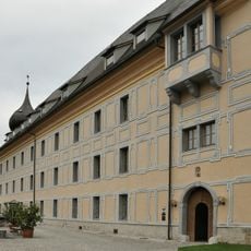
Pfarrhof Frauenberg
2.6 km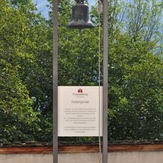
Fürbittglocke Ardning
2.6 km
Klause Selzthal, Admont
2.2 km
Bosrucktunnel-Südportal
1 km
Ardning railway station
426 m
Mariensäule
2.8 km
Wayside cross
1.1 km
Enns-Steg
2 km
Moor-Plattform
2.1 km
Moor-Turm
1.9 km
Wayside shrine, Christianity, house of prayer, place of worship
3.6 km
Wayside shrine
2 km
Christianity, house of prayer, place of worship, wayside shrine
3.3 km
Wayside shrine
2.6 km
Wayside shrine
2.4 km
Wayside shrine
3.3 km
Wayside cross
3.5 kmReviews
Visited this place? Tap the stars to rate it and share your experience / photos with the community! Try now! You can cancel it anytime.
Discover hidden gems everywhere you go!
From secret cafés to breathtaking viewpoints, skip the crowded tourist spots and find places that match your style. Our app makes it easy with voice search, smart filtering, route optimization, and insider tips from travelers worldwide. Download now for the complete mobile experience.

A unique approach to discovering new places❞
— Le Figaro
All the places worth exploring❞
— France Info
A tailor-made excursion in just a few clicks❞
— 20 Minutes