Wayside shrine
Location: Sulz im Weinviertel
GPS coordinates: 48.51429,16.70952
Latest update: November 15, 2025 09:44
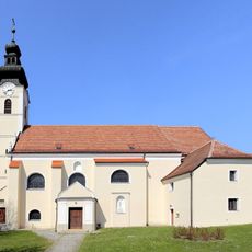
Pfarrkirche (Obersulz)
2.6 km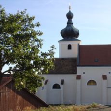
Pfarrkirche hl. Wolfgang Loidesthal
3.1 km
Filialkirche hl. Urban, Gaiselberg
2.2 km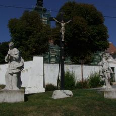
Hll.Sebastian Maria Magdalena
2.6 km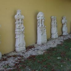
Kirchhof
2.6 km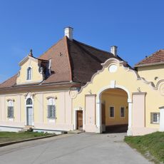
Pfarrhof
2.7 km
Hl.Florian
2.7 km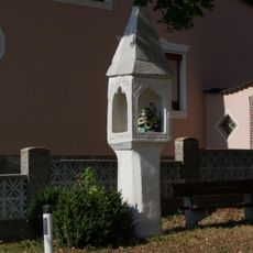
Bildstock 203
2.8 km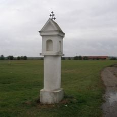
Bildstock
3.5 km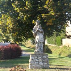
Figurenbildstock hl. Johannes Nepomuk
2.7 km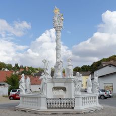
Dreifaltigkeitssäule (Obersulz)
2.8 km
Wayside shrine
2.7 km
Wayside cross
2.6 km
Wayside shrine
3.1 km
Statue, Work of art
2.6 km
Wayside cross
2.9 km
Wayside cross
2.4 km
Dreifaltigkeitssäule
2.8 km
Wayside cross
2.8 km
Wayside shrine
2 km
Statue, Work of art
2.6 km
Wayside cross
2.4 km
Wayside cross
3 km
Statue, monument
2.8 km
Wayside shrine
2.9 km
Riglas Kreuz
2.5 km
Catholic church building, wayside cross, Christianity
1.9 km
Kriegsdenkmal Loidesthal
3.1 kmReviews
Visited this place? Tap the stars to rate it and share your experience / photos with the community! Try now! You can cancel it anytime.
Discover hidden gems everywhere you go!
From secret cafés to breathtaking viewpoints, skip the crowded tourist spots and find places that match your style. Our app makes it easy with voice search, smart filtering, route optimization, and insider tips from travelers worldwide. Download now for the complete mobile experience.

A unique approach to discovering new places❞
— Le Figaro
All the places worth exploring❞
— France Info
A tailor-made excursion in just a few clicks❞
— 20 Minutes