Wayside shrine
Location: St. Veit an der Glan
GPS coordinates: 46.76015,14.37217
Latest update: November 18, 2025 19:55
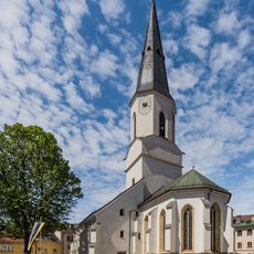
Pfarrkirche Sankt Veit an der Glan
1.3 km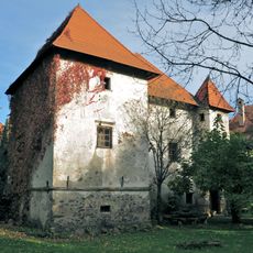
Schloss Weyer, Sankt Veit an der Glan
1.2 km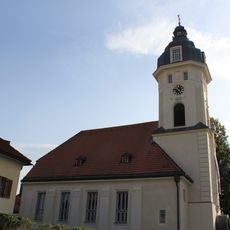
Evangelische Kirche St Veit
1.1 km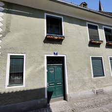
Residential building Kirchgasse 7
1.3 km
Filialkirche hl. Andreas, Glandorf
1 km
Stadtbefestigung St. Veit an der Glan (Teil beim Kirchplatz)
1.3 km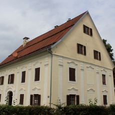
Glangasse 71, St Veit an der Glan
381 m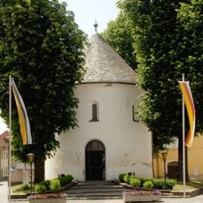
Karner St. Michael, St. Veit an der Glan
1.3 km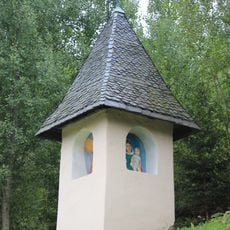
Richtkreuz, St Veit an der Glan
165 m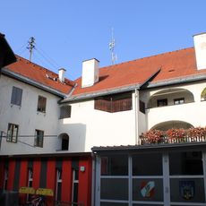
Former fire station St Veit
1.2 km
Schillerdenkmal
1.3 km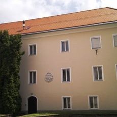
Pfarrhof Sankt Veit an der Glan
1.2 km
Polytechnikum St Veit an der Glan
1.2 km
Fundermax Showroom
919 m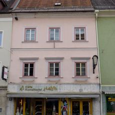
Unterer Platz 19, St, Veit an der Glan
1.3 km
Bürgerhaus, Hintertrakt von Hauptplatz 15
1.3 km
Botengasse 1, St Veit an der Glan
1.3 km
Aufnahmsgebäude Bahnhof St. Veit an der Glan
1.2 km
Schwarze Muttergottes
268 m
498.06
874 m
Hallen- und Freibad
700 m
Schillerdenkmal
1.3 km
Installation artwork, Work of art
1.2 km
Wayside cross
210 m
Wayside cross
216 m
Wayside shrine, Christianity
1 km
Wayside shrine
1.3 km
Memorial
1.2 kmReviews
Visited this place? Tap the stars to rate it and share your experience / photos with the community! Try now! You can cancel it anytime.
Discover hidden gems everywhere you go!
From secret cafés to breathtaking viewpoints, skip the crowded tourist spots and find places that match your style. Our app makes it easy with voice search, smart filtering, route optimization, and insider tips from travelers worldwide. Download now for the complete mobile experience.

A unique approach to discovering new places❞
— Le Figaro
All the places worth exploring❞
— France Info
A tailor-made excursion in just a few clicks❞
— 20 Minutes