Wayside shrine
Location: Gratkorn
Inception: June 20, 1912
GPS coordinates: 47.12565,15.35455
Latest update: November 3, 2025 15:08
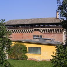
Zementofen
1.1 km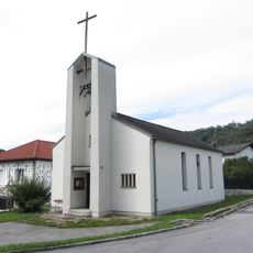
Michaelskirche
1.6 km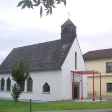
Evang. Pfarrkirche Judendorf-Straßengel
1.3 km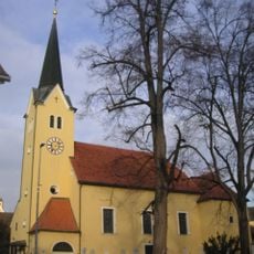
Pfarrkirche Gratkorn
1.1 km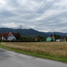
Brunn
411 m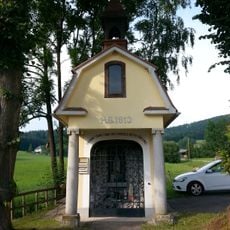
Lourdes-Kapelle, Dult
1.3 km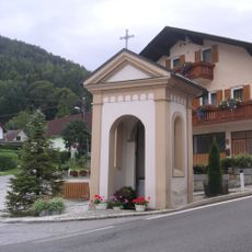
Materleitner-Kapelle, Judendorf-Straßengel
1.3 km
Überreste eines römerzeitlichen Gutshofes (villa rustica)
1.1 km
Gemeindeamt Gratkorn
1.1 km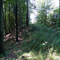
Hügelgrab am Bahnriegl
1 km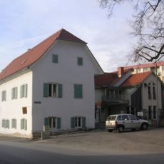
Pfarrhof Gratkorn
1.1 km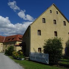
Murmühle
1.1 km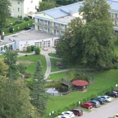
Sonderkrankenanstalt f. interne Erkrankungen der Versicherungsanstalt der ÖBB
1.6 km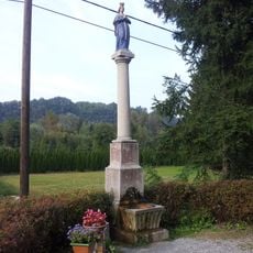
Mariensäule, Siebenbründl
975 m
Öffentliche Pfarrbücherei Gratkorn
1.1 km
"Where is the face?"
1.2 km
Waldandacht
1.6 km
Bildstock in der Dult
1.3 km
Scenic viewpoint
1.3 km
Wayside shrine
1.1 km
Wayside cross
781 m
Rötzbachwasserfall
1.4 km
Wayside cross
1.2 km
Wayside shrine
1.1 km
Wayside shrine
554 m
Wayside shrine
1.6 km
Wayside shrine
1.6 km
Bildstock des Anfangs
1.7 kmReviews
Visited this place? Tap the stars to rate it and share your experience / photos with the community! Try now! You can cancel it anytime.
Discover hidden gems everywhere you go!
From secret cafés to breathtaking viewpoints, skip the crowded tourist spots and find places that match your style. Our app makes it easy with voice search, smart filtering, route optimization, and insider tips from travelers worldwide. Download now for the complete mobile experience.

A unique approach to discovering new places❞
— Le Figaro
All the places worth exploring❞
— France Info
A tailor-made excursion in just a few clicks❞
— 20 Minutes