Wayside shrine
Location: Hofkirchen im Traunkreis
GPS coordinates: 48.15249,14.38676
Latest update: November 15, 2025 06:13
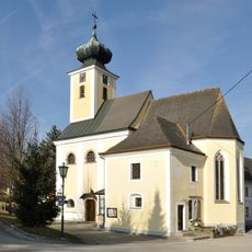
Pfarrkirche Maria Laah
3.6 km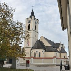
Pfarrkirche Hargelsberg
2.8 km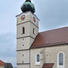
Pfarrkirche Niederneukirchen
3.6 km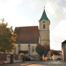
Pfarrkirche Hofkirchen im Traunkreis
1.4 km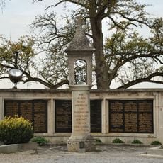
Friedhof, Kriegerdenkmal
2.8 km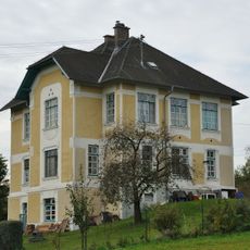
Doktor-Villa
2.9 km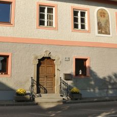
Gasthaus Voglsam
1.4 km
Pfarrhof
2.8 km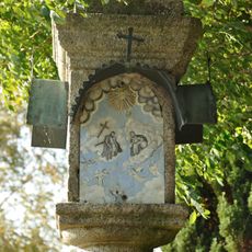
Aignerkreuz
2 km
Österreichisches Sattlermuseum
879 m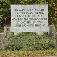
Todesmarschgrab des KZ Mauthausen
3.1 km
Hausberganlage Mair zu Hauzenbach
3.2 km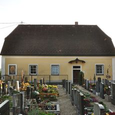
Ehem. Pfarrhof, jetzt Aufbahrungshalle
1.4 km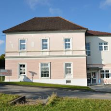
F. Arnleitner-Schule
1.3 km
Freibad
2.5 km
Friedmann-Kreuz
3 km
Waldhör-Kreuz
2.7 km
Laimbergerkreuz
3.5 km
Wayside cross
2.5 km
Schneider-Huber-Kreuz
3.3 km
Wayside cross
2.3 km
Zehetnerkreuz
3.3 km
Wayside cross
897 m
Karan-Kreuz
3.2 km
Wayside cross
939 m
Weinberger-Schuster-Kreuz
2.8 km
Mayr in der Wies Kreuzstöckl
2.3 km
Burgerkreuz
2 kmReviews
Visited this place? Tap the stars to rate it and share your experience / photos with the community! Try now! You can cancel it anytime.
Discover hidden gems everywhere you go!
From secret cafés to breathtaking viewpoints, skip the crowded tourist spots and find places that match your style. Our app makes it easy with voice search, smart filtering, route optimization, and insider tips from travelers worldwide. Download now for the complete mobile experience.

A unique approach to discovering new places❞
— Le Figaro
All the places worth exploring❞
— France Info
A tailor-made excursion in just a few clicks❞
— 20 Minutes