Lavoir typique des Mont-d'Or
Location: Saint-Cyr-au-Mont-d'Or
GPS coordinates: 45.81642,4.82285
Latest update: November 29, 2025 13:45
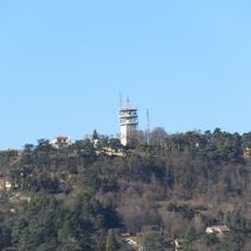
Mont Cindre
960 m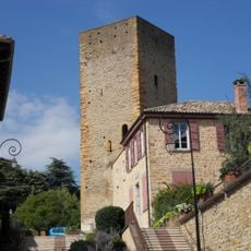
Château de Saint-Cyr
437 m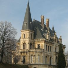
Château-Perret
1 km
Batterie de la Freta
1.4 km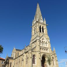
Église Saint-Cyr-et-Sainte-Julitte de Saint-Cyr-au-Mont-d'Or
268 m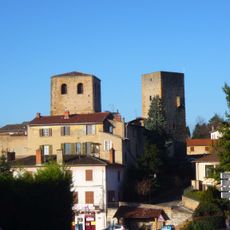
Ancienne église de Saint-Cyr-au-Mont-d'Or
429 m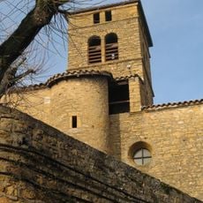
Église Saint-Nizier du Vieux-Collonges
1.1 km
Square Paul-Cézanne
1.5 km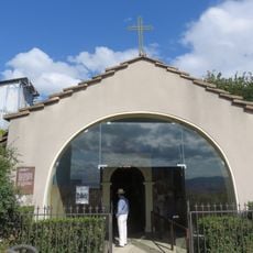
Chapelle de l'ermitage du Mont Cindre
614 m
Square Maurice-Ravel
1.5 km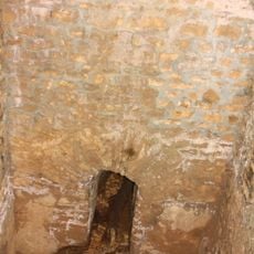
Réservoirs d'aqueduc du Vallon d'Arche
1.7 km
Scenic viewpoint
394 m
Scenic viewpoint
634 m
ND du Sacré-coeur de Jésus
1.2 km
Wayside cross
1.5 km
Sanctuaire Notre-Dame de tout pouvoir
628 m
Croix
887 m
Wayside cross
468 m
Monument aux Morts
1 km
Vierge de la Jardinière
1.4 km
Cabane Pointue
1.7 km
Catholic church building, wayside cross, Christianity
702 m
Christianity, Catholic church building, wayside cross
705 m
Memorial, commemorative plaque
1.6 km
Wayside cross
470 m
Wayside cross
1 km
Wayside cross
1.1 km
Commemorative plaque, memorial
1.1 kmVisited this place? Tap the stars to rate it and share your experience / photos with the community! Try now! You can cancel it anytime.
Discover hidden gems everywhere you go!
From secret cafés to breathtaking viewpoints, skip the crowded tourist spots and find places that match your style. Our app makes it easy with voice search, smart filtering, route optimization, and insider tips from travelers worldwide. Download now for the complete mobile experience.

A unique approach to discovering new places❞
— Le Figaro
All the places worth exploring❞
— France Info
A tailor-made excursion in just a few clicks❞
— 20 Minutes