Catholic church building, wayside cross
Location: Castelnau-Rivière-Basse
GPS coordinates: 43.58078,-0.03017
Latest update: November 16, 2025 09:34
Église Saint-Jean-Baptiste de Mazères
1.6 km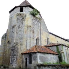
Église Saint-Jean-Baptiste de Préchac-sur-Adour
3.4 km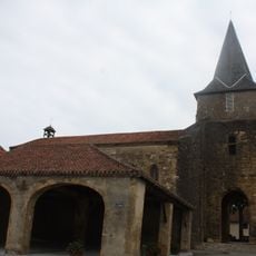
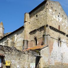
Église Saint-Cyr-et-Sainte Julitte de Castelnau-Rivière-Basse
330 m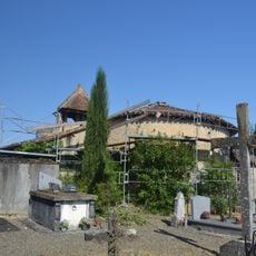
Église de Cannet
3.9 km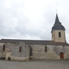
Église Saint-Nicolas de Belloc
3.5 km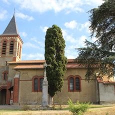
Église Saint-Jean-Baptiste de Saint-Lanne
3 km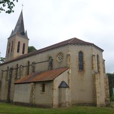
Église de Jû
2.9 km
Domaine de Laborie
2.4 km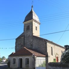
Église Saint-Jean-Baptiste d'Hères
3.9 km
Château de Montus
1.4 km
Wayside cross, Catholic church building
441 m
Wayside cross
2.9 km
Monument aux Morts
338 m
Catholic church building, wayside cross
1.6 km
Calvaire des Potences
1.3 km
Monument aux Morts
3.2 km
Wayside cross
3.3 km
Tomb
3.4 km
Memorial, war memorial
3.9 km
Catholic church building, wayside cross
352 m
Wayside cross
3 km
Wayside cross
3.9 km
War memorial, memorial
3.9 km
Catholic church building, wayside cross
2.9 km
Monument aux Morts
2.8 km
Wayside cross, Catholic church building
3.5 km
Catholic church building, wayside cross
3.4 km
Wayside shrine
3.4 kmReviews
Visited this place? Tap the stars to rate it and share your experience / photos with the community! Try now! You can cancel it anytime.
Discover hidden gems everywhere you go!
From secret cafés to breathtaking viewpoints, skip the crowded tourist spots and find places that match your style. Our app makes it easy with voice search, smart filtering, route optimization, and insider tips from travelers worldwide. Download now for the complete mobile experience.

A unique approach to discovering new places❞
— Le Figaro
All the places worth exploring❞
— France Info
A tailor-made excursion in just a few clicks❞
— 20 Minutes