Catholic church building, wayside cross
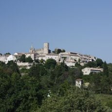
Location: Saint-Mamert-du-Gard
GPS coordinates: 43.88469,4.18981
Latest update: November 21, 2025 18:52
Château de Montpezat
4.7 km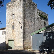
Logis seigneurial de Gajan
2.4 km
Carrière romaine du Roquet
3.8 km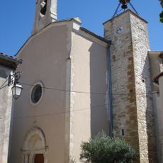
Église Saint-Mamert de Saint-Mamert-du-Gard
282 m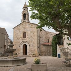
Saint Saturnin's Church
2.6 km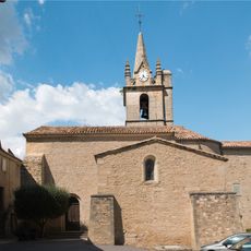
Église Saint-Sébastien de Montpezat
4.6 km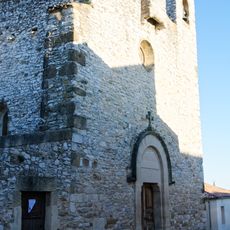
Our Lady of the Assumption Church in Parignargues
1.9 km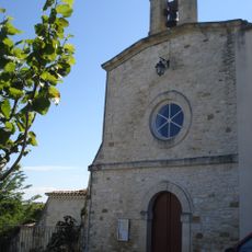
Église Notre-Dame de Gajan
2.5 km
Protestant Church in Saint-Mamert-du-Gard
375 m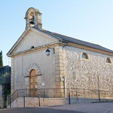
Temple de l'église protestante unie de France de Parignargues
1.9 km
Scenic viewpoint
4.7 km
Table orientation
4.5 km
Ancien Moulin à vent de Montmal
1.3 km
Capitelles
3.9 km
Memorial, war memorial
284 m
Catholic church building, wayside cross
4.6 km
Catholic church building, wayside cross
4.6 km
Wayside cross
2.8 km
Wayside cross
2.9 km
Carrière romaine des Pielles
4.6 km
Monuments aux morts
2.7 km
Wayside cross
2 km
Water well
4.1 km
Water well, private road
3.7 km
Wayside cross
2.4 km
Wayside cross
2.7 km
Wayside cross
711 m
Memorial
3.9 kmVisited this place? Tap the stars to rate it and share your experience / photos with the community! Try now! You can cancel it anytime.
Discover hidden gems everywhere you go!
From secret cafés to breathtaking viewpoints, skip the crowded tourist spots and find places that match your style. Our app makes it easy with voice search, smart filtering, route optimization, and insider tips from travelers worldwide. Download now for the complete mobile experience.

A unique approach to discovering new places❞
— Le Figaro
All the places worth exploring❞
— France Info
A tailor-made excursion in just a few clicks❞
— 20 Minutes