Wayside cross, Catholic church building
Location: Saint-Sauveur-Camprieu
GPS coordinates: 44.11457,3.47866
Latest update: December 8, 2025 05:47
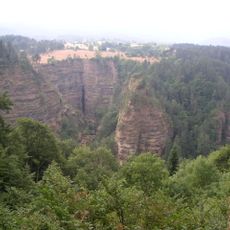
Abîme de Bramabiau
747 m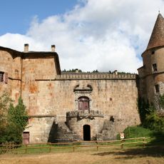
Château de Roquedols
6.2 km
La Brèze
6 km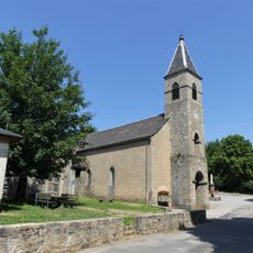
Église Saint-Sauveur de Camprieu
135 m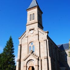
Église Notre-Dame de Dourbies
6.1 km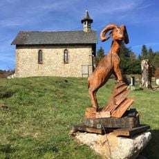
Temple de l'Esperou
5.9 km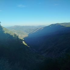
Belvédère de la Serreyrède
5.5 km
Scenic viewpoint
6.4 km
Scenic viewpoint
1.1 km
Scenic viewpoint
5.4 km
Catholic church building, wayside cross
282 m
Burning Beds
6.1 km
Work of art
6 km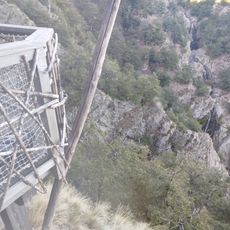
Scenic viewpoint
5.8 km
Abîme de Bramabiau
672 m
La Croix de Fer
1.1 km
Wayside cross
5.2 km
Georg Fabre
5.5 km
L’orée
6.2 km
EA Martel
867 m
Wayside cross
1.1 km
Megalith, menhir, archaeological site
4.6 km
Wayside cross
382 m
Wayside cross
6 km
Memorial, war memorial
195 m
Wayside cross
185 m
Waterfall
717 m
Les cascades de l'Hérault
5.8 kmVisited this place? Tap the stars to rate it and share your experience / photos with the community! Try now! You can cancel it anytime.
Discover hidden gems everywhere you go!
From secret cafés to breathtaking viewpoints, skip the crowded tourist spots and find places that match your style. Our app makes it easy with voice search, smart filtering, route optimization, and insider tips from travelers worldwide. Download now for the complete mobile experience.

A unique approach to discovering new places❞
— Le Figaro
All the places worth exploring❞
— France Info
A tailor-made excursion in just a few clicks❞
— 20 Minutes