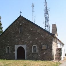
Catholic church building, wayside cross
Location: Tardets-Sorholus
GPS coordinates: 43.12217,-0.86450
Latest update: November 19, 2025 13:14
Chapelle de la Madeleine
3.3 km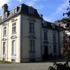
Château d'Eliçabéa
1.5 km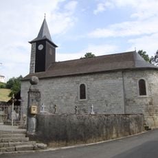
Église de Camou
3.5 km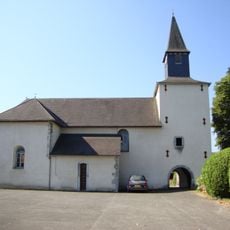
Église Saint-Jean-Baptiste de Trois-Villes
1.4 km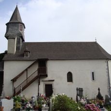
Église Saint-Cyprien d'Ossas
3 km
Église Saint-Martin-de-Tours de Sibas
1.9 km
Église de l'Assomption d'Alos
989 m
Église Saint-André de Lichans
3.4 km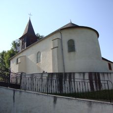
Église Saint-André de Sunharette
3 km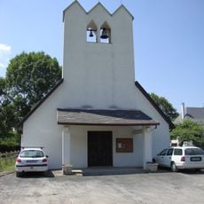
Église Saint-Julien-d'Antioche d'Abense d'Haut
1.5 km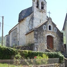
Église Saint-Sébastien de Laguinge
3.2 km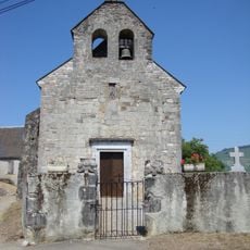
Église Saint-Pierre de Sunhar
3.3 km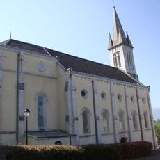
Église Saint-Pierre de Tardets
470 m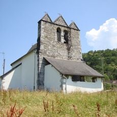
Église Saint-Étienne de Restoue
2.5 km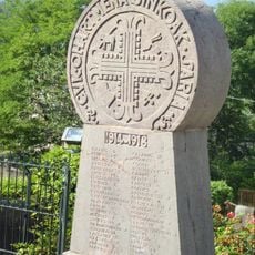
Monument aux morts de la guerre 1914-1918
487 m
Scenic viewpoint
3.2 km
Scenic viewpoint
3.3 km
Scenic viewpoint
3.3 km
Wayside cross
463 m
Espace sur la mythologie basque Herauskorritxe
639 m
Momunent aux Morts en Afrique du Nord
282 m
Statue de Etxahun Iruri
1.3 km
Wayside cross
276 m
Wayside cross
3.2 km
Wayside cross
3.3 km
Wayside cross
1.1 km
Wayside cross
1.3 km
Wayside cross
3 kmReviews
Visited this place? Tap the stars to rate it and share your experience / photos with the community! Try now! You can cancel it anytime.
Discover hidden gems everywhere you go!
From secret cafés to breathtaking viewpoints, skip the crowded tourist spots and find places that match your style. Our app makes it easy with voice search, smart filtering, route optimization, and insider tips from travelers worldwide. Download now for the complete mobile experience.

A unique approach to discovering new places❞
— Le Figaro
All the places worth exploring❞
— France Info
A tailor-made excursion in just a few clicks❞
— 20 Minutes