Catholic church building, wayside cross
Location: Rochefort-en-Valdaine
GPS coordinates: 44.51136,4.85424
Latest update: November 28, 2025 19:05
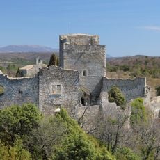
Chateau de Rochefort-en-Valdaine
29 m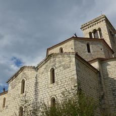
Église Saint-Bonnet de Puygiron
3.5 km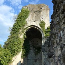
Chapelle Barbara
5.2 km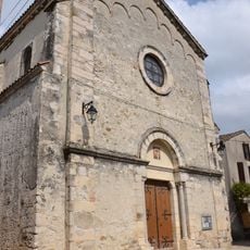
Église Saint-Étienne d'Espeluche
2.5 km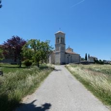
Église Saint-Pierre-de-Lançon de Portes-en-Valdaine
4.8 km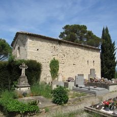
Chapelle Saint-Bonnet de Puygiron
2.9 km
Église abbatiale Notre-Dame-d'Aiguebelle de Montjoyer
3.9 km
Église Notre-Dame-des-Victoires de La Bâtie-Rolland
4.7 km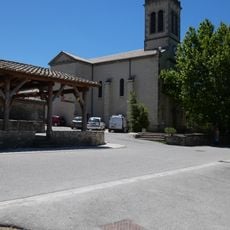
Église Saint-Jean-Baptiste de La Touche
2.6 km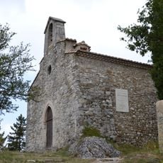
Chapelle Saint Blaise de Rochefort-en-Valdaine
26 m
Chapelle Saint-Roch, église paroissiale de La Bâtie-Rolland
4.9 km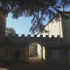
Château de Lalo
4.6 km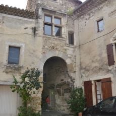
Banc de justice
2.5 km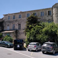
Château de la Touche
2.7 km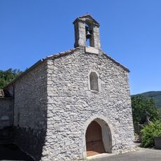
Chapelle Notre-Dame-de-Maltèse de La Touche
3.4 km
Château de Colomberas
4.2 km
Château de Saint Romain
4.5 km
Château
3.6 km
Scenic viewpoint
4.8 km
Scenic viewpoint
3.4 km
Castle
5.1 km
Triangulation station, wayside cross, survey marker
4.8 km
Wayside cross
4.4 km
Wayside cross
5 km
Croix de Simeon
3.9 km
Wayside cross
4.8 km
Croix
4.8 km
Wayside cross
3.5 kmVisited this place? Tap the stars to rate it and share your experience / photos with the community! Try now! You can cancel it anytime.
Discover hidden gems everywhere you go!
From secret cafés to breathtaking viewpoints, skip the crowded tourist spots and find places that match your style. Our app makes it easy with voice search, smart filtering, route optimization, and insider tips from travelers worldwide. Download now for the complete mobile experience.

A unique approach to discovering new places❞
— Le Figaro
All the places worth exploring❞
— France Info
A tailor-made excursion in just a few clicks❞
— 20 Minutes