Catholic church building, wayside cross
Location: Saint-Cernin-de-Labarde
GPS coordinates: 44.76630,0.57372
Latest update: November 19, 2025 04:46
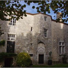
Château de Bouniagues
3.8 km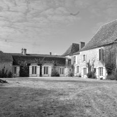
Château de Ferrant
3.6 km
Dolmen de Campguilhem
4.5 km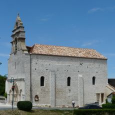
Église Saint-Jean-Baptiste de Saint-Nexans
4.7 km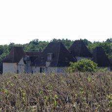
Manoir de l'Aubespin
3.5 km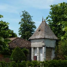
Château de la Jaubertie
4.4 km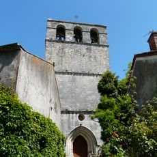
Église Saint-Laurent-et-Saint-Martin de Conne-de-Labarde
2.2 km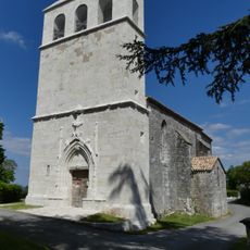
Église Saint-Pierre-et-Saint-Paul de Colombier
3.9 km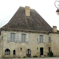
Prévôté d’Issigeac
4.7 km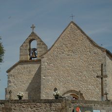
Église Sainte-Madeleine de Monmadalès
3.8 km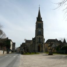
Église Saint-Aubin de Saint-Aubin-de-Lanquais
3.5 km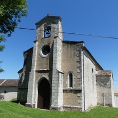
Église Saint-Pardoux de Saint-Perdoux
3.8 km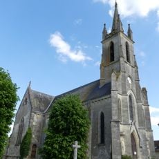
Église Notre-Dame-de-l'Assomption de Bouniagues
3.8 km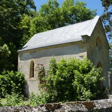
Chapelle de Saint-Perdoux
3.8 km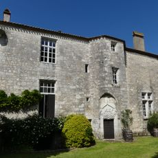
Presbytère de Bouniagues
3.8 km
Wayside cross
3.9 km
Dolmen de Canguillem
4.5 km
Monument aux morts
4.7 km
Wayside cross
2.4 km
Mission 1903
4.2 km
Maison des dîmes
4.7 km
Wayside cross
4.1 km
Wayside cross
4.7 km
Wayside cross
4.7 km
Wayside cross
3.8 km
Memorial, war memorial
221 m
Memorial
3.3 km
Wayside cross
2.2 kmVisited this place? Tap the stars to rate it and share your experience / photos with the community! Try now! You can cancel it anytime.
Discover hidden gems everywhere you go!
From secret cafés to breathtaking viewpoints, skip the crowded tourist spots and find places that match your style. Our app makes it easy with voice search, smart filtering, route optimization, and insider tips from travelers worldwide. Download now for the complete mobile experience.

A unique approach to discovering new places❞
— Le Figaro
All the places worth exploring❞
— France Info
A tailor-made excursion in just a few clicks❞
— 20 Minutes