Catholic church building, wayside cross
Location: Tournon-d'Agenais
GPS coordinates: 44.40249,1.00143
Latest update: November 24, 2025 08:54

Château de Ferrières
6.5 km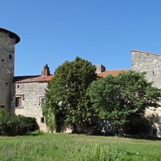
Château de Perricard
6.3 km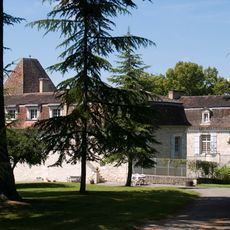
Château du Bosc
2.2 km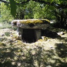
Alignements du Bosc
2.2 km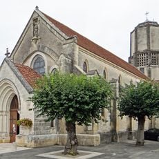
Église Saint-Barthélemy de Tournon-d'Agenais
548 m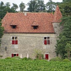
Château du Trichot
3.5 km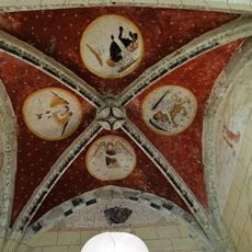
Église Saint-André-de-Carabaisse de Tournon-d'Agenais
3.2 km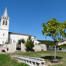
Église Saint-Gilles de Cazideroque
5.8 km
Allée funéraire de Saltrès
3.4 km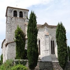
Église Notre-Dame de Gouts
5.1 km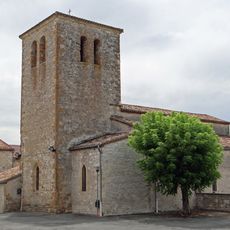
Église Saint-Pierre-aux-Liens
3 km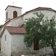
Église Saint-Vincent de Masquières
4.2 km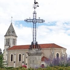
Église Saint-Saturnin de Thézac
3.2 km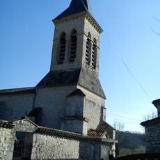
Église Saint-Pierre d'Anthé
4.7 km
Manoir de la Gabertie
2.9 km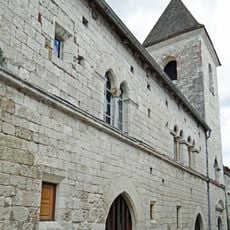
Maison dite l'Abescat
564 m
Église paroissiale logée dans l'évêché dit Abescat de Tournon-d'Agenais
553 m
Château de Rodié
4.9 km
Lavoir
6.4 km
Scenic viewpoint
464 m
Scenic viewpoint
592 m
Calvaire
588 m
Monument cantonal aux martyrs du 3 juillet 1944
346 m
Wayside cross
4.3 km
Wayside cross
3.7 km
Wayside cross
4.7 km
Plaque commémorative des martyrs du 3 juillet 1944
337 m
Memorial
4.2 kmVisited this place? Tap the stars to rate it and share your experience / photos with the community! Try now! You can cancel it anytime.
Discover hidden gems everywhere you go!
From secret cafés to breathtaking viewpoints, skip the crowded tourist spots and find places that match your style. Our app makes it easy with voice search, smart filtering, route optimization, and insider tips from travelers worldwide. Download now for the complete mobile experience.

A unique approach to discovering new places❞
— Le Figaro
All the places worth exploring❞
— France Info
A tailor-made excursion in just a few clicks❞
— 20 Minutes