Catholic church building, wayside cross
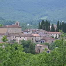
Location: Dun
Made from material: metal
GPS coordinates: 43.02613,1.80015
Latest update: November 20, 2025 00:42
Église Saint-Pierre de Lieurac
4.9 km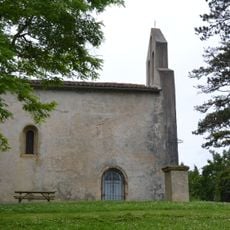
Église de la Nativité-de-Notre-Dame de Viviès
4 km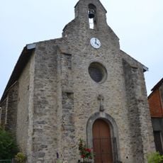
Église Saint-Michel de Tourtrol
4.7 km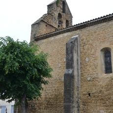
Église Saint-Michel de Dun
232 m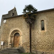
Église Saint-Romain de Limbrassac
3.6 km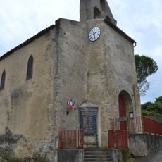
Église Sainte-Catherine de Vira
4.3 km
Église Saint-Julien de Saint-Julien-de-Gras-Capou
4.6 km
Église Saint-Martin de Ventenac
6.1 km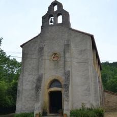
Église Saint-Pierre et Saint-Paul de Senesse-de-Senabugue
3.3 km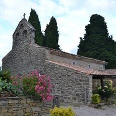
Église Saint-Jean-Baptiste de Pradettes
4.4 km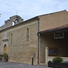
Église Notre-Dame de Besset
6.5 km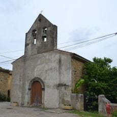
Église Saint-Martin d'Engraviès
2.5 km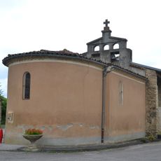
Chapelle Saint-Sébastien de Sautel
5.6 km
Château de Gargas
4.1 km
Table d'orientation
3.1 km
Scenic viewpoint
5.6 km
Palauti
5.1 km
Métairie de Pincou
2.4 km
Croix du Pech
5.8 km
Mounichou
2 km
Plaque-monument aux morts
5.2 km
Mémorial de la Résistance espagnole
5.7 km
Memorial, war memorial
6.3 km
Commemorative plaque, memorial
4.3 km
Mémorial résistants et victimes du Douctouyre
5.3 km
Mémorial Résistance du 9 juin 1944
3.6 km
Memorial, war memorial
2.4 km
Stele, memorial
6.2 kmVisited this place? Tap the stars to rate it and share your experience / photos with the community! Try now! You can cancel it anytime.
Discover hidden gems everywhere you go!
From secret cafés to breathtaking viewpoints, skip the crowded tourist spots and find places that match your style. Our app makes it easy with voice search, smart filtering, route optimization, and insider tips from travelers worldwide. Download now for the complete mobile experience.

A unique approach to discovering new places❞
— Le Figaro
All the places worth exploring❞
— France Info
A tailor-made excursion in just a few clicks❞
— 20 Minutes