Wayside cross
Location: Montesquieu-des-Albères
GPS coordinates: 42.49212,2.89086
Latest update: November 15, 2025 00:18
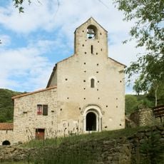
Priory of Santa Maria del Vilar
2.3 km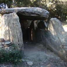
Balma de Na Cristiana
877 m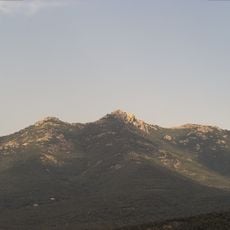
Puig de Sant Cristau
5 m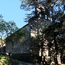
Église Saint-Martin de l'Albère
3.4 km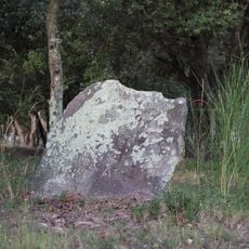
Dolmen de la Creu del Senyal
3 km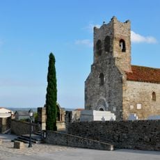
Église Saint-Saturnin de Montesquieu-des-Albères
3.3 km
La Ferme Aventure
3.6 km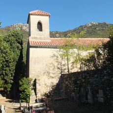
Église Saint-Jean de l'Albère
1 km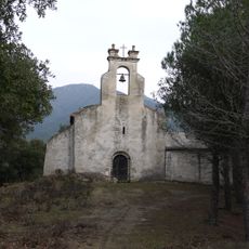
Église Saint-Pierre de Laner
3.7 km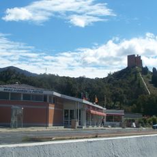
Le Perthus Pyramid
3.1 km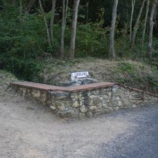
Font del Carex
2.6 km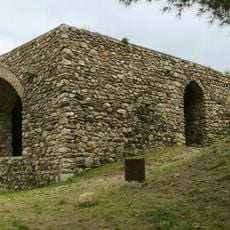
Castillo de Montesquieu-des-Albères
3 km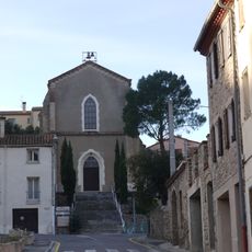
Église Saint-Louis Roi du Perthus
3.8 km
Puig de la Puja
3.6 km
Pyramid
3.1 km
Scenic viewpoint
2.1 km
Scenic viewpoint
2.9 km
Scenic viewpoint
3.9 km
Salle Jean Thubert
3.1 km
Sculpture, Work of art
3.1 km
Scenic viewpoint
3.5 km
Scenic viewpoint
3.6 km
Borne frontière 579bis
3.2 km
Pou de Gel de l'Avellanosa
3 km
Memorial, war memorial
3.8 km
Wayside cross
3.5 km
Wayside cross
3.6 km
Château de Montesquieu
2.9 kmReviews
Visited this place? Tap the stars to rate it and share your experience / photos with the community! Try now! You can cancel it anytime.
Discover hidden gems everywhere you go!
From secret cafés to breathtaking viewpoints, skip the crowded tourist spots and find places that match your style. Our app makes it easy with voice search, smart filtering, route optimization, and insider tips from travelers worldwide. Download now for the complete mobile experience.

A unique approach to discovering new places❞
— Le Figaro
All the places worth exploring❞
— France Info
A tailor-made excursion in just a few clicks❞
— 20 Minutes