Wayside cross
Location: Saint-Andéol-de-Fourchades
Made from material: stone
GPS coordinates: 44.84871,4.29901
Latest update: November 12, 2025 23:32
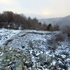
Oppidum de la Fare
2.7 km
Rocher des Baux
4 km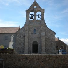
Église Saint-Julien de Lachamp-Raphaël
4.4 km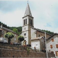
Église Saint-Martial de Saint-Martial
2.7 km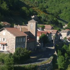
Église Notre-Dame du Chambon
1.5 km
Église Saint-Andéol de Saint-Andéol-de-Fourchades
82 m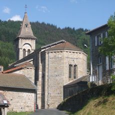
Église Saint-Vincent de Dornas
4.2 km
La Pigne
3.8 km
Sommet de Coudiol
3.2 km
Table d'interprétation
4.5 km
Scenic viewpoint, toposcope
1.9 km
Scenic viewpoint
4.4 km
Scenic viewpoint
2 km
Wayside cross
4.2 km
Four banal de Girond
4.2 km
Scenic viewpoint
2.9 km
Scenic viewpoint
3.3 km
Wayside cross
4.4 km
Wayside cross
4 km
Mourier
3.4 km
Wayside cross
4.3 km
Wayside cross
2.8 km
Stèle des fusillés du 5 juillet 1944
2.5 km
Plaque des résistants du 5 juillet 1944
2.7 km
Wayside cross
3.8 km
Wayside cross
3.1 km
Wayside cross
2.5 km
Wayside cross
100 mReviews
Visited this place? Tap the stars to rate it and share your experience / photos with the community! Try now! You can cancel it anytime.
Discover hidden gems everywhere you go!
From secret cafés to breathtaking viewpoints, skip the crowded tourist spots and find places that match your style. Our app makes it easy with voice search, smart filtering, route optimization, and insider tips from travelers worldwide. Download now for the complete mobile experience.

A unique approach to discovering new places❞
— Le Figaro
All the places worth exploring❞
— France Info
A tailor-made excursion in just a few clicks❞
— 20 Minutes