Catholic church building, wayside cross
Location: Saint-Rome-de-Cernon
GPS coordinates: 43.99186,2.99044
Latest update: November 28, 2025 02:16
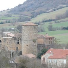
Château de Mélac
3.2 km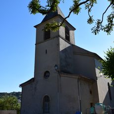
Église de l'Assomption de Tournemire
3.4 km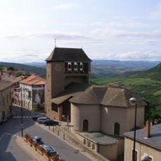
Église Saint-Pierre de Roquefort-sur-Soulzon
1.8 km
Musée municipal d'archéologie de Roquefort-sur-Soulzon
1.9 km
Dolmen de Laumière 1
2.2 km
Dolmen de Laumière 2
2.3 km
Dolmen de Laumière 3
2.4 km
Dolmen de Laumière 4
3.2 km
Scenic viewpoint
533 m
Scenic viewpoint
1.7 km
Scenic viewpoint
2.4 km
Scenic viewpoint
2.8 km
Scenic viewpoint
1.9 km
Scenic viewpoint
150 m
Scenic viewpoint
3.5 km
Christian cross, Catholic church building, monumental cross, wayside cross, summit cross
3.4 km
Scenic viewpoint
2.8 km
Vierge à l'enfant
457 m
Wayside cross
3.5 km
Wayside cross
2 km
Wayside cross
571 m
Dolmens de Laumière
2.2 km
Castle
3.2 km
Wayside cross
1.9 km
Memorial
3.1 km
Archaeological site
3.3 km
Dolmen, megalith, archaeological site
3.2 km
Dolmen, megalith, archaeological site
2.4 kmVisited this place? Tap the stars to rate it and share your experience / photos with the community! Try now! You can cancel it anytime.
Discover hidden gems everywhere you go!
From secret cafés to breathtaking viewpoints, skip the crowded tourist spots and find places that match your style. Our app makes it easy with voice search, smart filtering, route optimization, and insider tips from travelers worldwide. Download now for the complete mobile experience.

A unique approach to discovering new places❞
— Le Figaro
All the places worth exploring❞
— France Info
A tailor-made excursion in just a few clicks❞
— 20 Minutes