Catholic church building, wayside cross
Location: Saint-Jean-Poutge
GPS coordinates: 43.75460,0.37303
Latest update: November 27, 2025 13:13
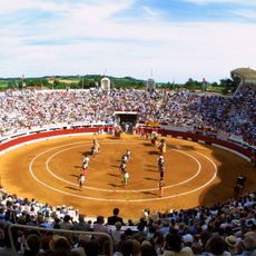
Arènes de Vic-Fezensac
6.1 km
Château de Herrebouc
1.7 km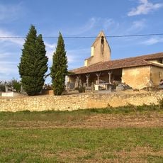
Chapelle Saint-Michel de Tremblade
5.3 km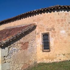
Église Saint-André de Ramensan
4.7 km
Église Saint-Pierre de Tabaux
4.9 km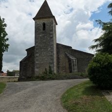
Église Saint-Barthélemy de Bonas
4.3 km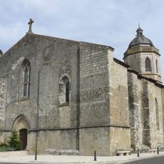
Église Saint-Pierre de Vic-Fezensac
5.7 km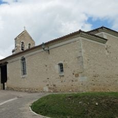
Église Saint-Paul de Saint-Paul-de-Baïse
2.3 km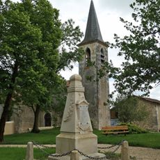
Église Saint-Martin de Rozès
5.9 km
Château de Bonas
4.1 km
Château de Pimbat-Cruzalet
2.3 km
Wayside cross
5.3 km
Wayside shrine
5.9 km
Monument aux Morts
5.3 km
Tour du Chapitre
5.7 km
Wayside cross
5.2 km
Statue, memorial
6.1 km
Wayside cross, Catholic church building
5.7 km
Catholic church building, wayside cross
4.9 km
Monument aux Morts
5.9 km
Wayside cross
5.3 km
Catholic church building, wayside cross
3.6 km
Catholic church building, wayside cross
85 m
Wayside cross, Catholic church building
3.3 km
Wayside cross, Catholic church building
5 km
Catholic church building, wayside cross
5.7 km
Wayside cross, Catholic church building
4.9 km
Wayside cross, Catholic church building
3.6 kmVisited this place? Tap the stars to rate it and share your experience / photos with the community! Try now! You can cancel it anytime.
Discover hidden gems everywhere you go!
From secret cafés to breathtaking viewpoints, skip the crowded tourist spots and find places that match your style. Our app makes it easy with voice search, smart filtering, route optimization, and insider tips from travelers worldwide. Download now for the complete mobile experience.

A unique approach to discovering new places❞
— Le Figaro
All the places worth exploring❞
— France Info
A tailor-made excursion in just a few clicks❞
— 20 Minutes