Catholic church building, wayside cross
Location: Sainte-Colombe-en-Bruilhois
GPS coordinates: 44.19279,0.49498
Latest update: November 20, 2025 00:59
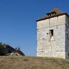
Château de Roquefort
5.5 km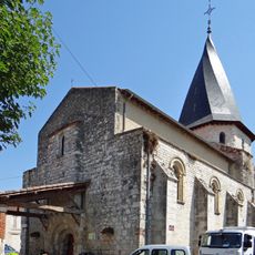
Église Notre-Dame-de-l'Assomption de Sérignac-sur-Garonne
2.5 km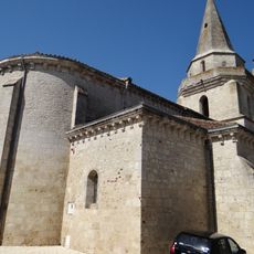
Église Sainte-Colombe de Sainte-Colombe-en-Bruilhois
2.4 km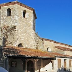
Église Saint-Hilaire de Saint-Hilaire-de-Lusignan
4 km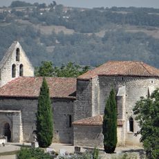
Église Saint-Martin de Mourrens
238 m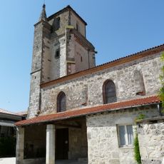
Église Notre-Dame de Montagnac-sur-Auvignon
4.5 km
Allée funéraire de Chanteloube
519 m
Église Saint-Pierre de Brax
4.6 km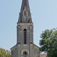
Église Saint-Félix de Montesquieu
4.6 km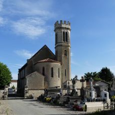
Église de l'Immaculée-Conception de Colayrac-Saint-Cirq
5.5 km
Wayside cross
2.3 km
Wayside cross
2.9 km
Monument aux Morts
4.6 km
Monument aux Morts
2.3 km
Monument aux Morts
2.4 km
Wayside cross
2.4 km
Monument aux Morts
5.6 km
Wayside cross, Catholic church building
5.4 km
Monument aux Morts
4.7 km
Wayside cross
2.6 km
Ruins
3.3 km
Catholic church building, wayside cross
2.7 km
Wayside cross, Catholic church building
2.2 km
Archaeological site
529 m
Catholic church building, wayside cross
2.5 km
Catholic church building, wayside cross
5.3 km
Catholic church building, wayside cross
4.7 km
Catholic church building, wayside cross
4.6 kmVisited this place? Tap the stars to rate it and share your experience / photos with the community! Try now! You can cancel it anytime.
Discover hidden gems everywhere you go!
From secret cafés to breathtaking viewpoints, skip the crowded tourist spots and find places that match your style. Our app makes it easy with voice search, smart filtering, route optimization, and insider tips from travelers worldwide. Download now for the complete mobile experience.

A unique approach to discovering new places❞
— Le Figaro
All the places worth exploring❞
— France Info
A tailor-made excursion in just a few clicks❞
— 20 Minutes