Wayside cross
Location: Sainte-Maure-de-Peyriac
GPS coordinates: 44.01281,0.15279
Latest update: November 15, 2025 06:51

Château de Poudenas
5.9 km
Église Saint-Barthélemy de Gueyze
4.1 km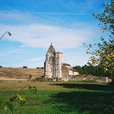
Église Saint-Simon de Saint-Pé-Saint-Simon
5.2 km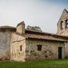
Église Saint-Christophe d'Arbussan
3.6 km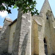
Église de Luzanet
4.1 km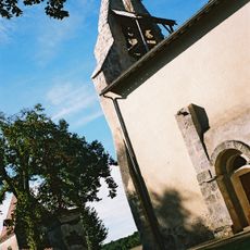
Église Saint-Pierre dite Saint-Pé-de-Boulogne de Saint-Pé-Saint-Simon
4.1 km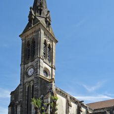
Église Saint-Saturnin de Sos
3.4 km
Scenic viewpoint
4.8 km
Scenic viewpoint
4.7 km
Scenic viewpoint
3.8 km
Scenic viewpoint
5.1 km
Scenic viewpoint
4.5 km
Scenic viewpoint
4.3 km
Scenic viewpoint
4.5 km
Scenic viewpoint
4.8 km
Wayside cross
5.9 km
Monument aux Morts
4.3 km
Catholic church building, wayside cross
5.9 km
Église Saint-Barthélemy de Gueyze
4.1 km
Monument à la Résistance
4.9 km
Catholic church building, wayside cross
5.2 km
Monument aux Morts
5.7 km
Monument aux morts de la Résistance
3.3 km
Catholic church building, wayside cross
4.2 km
Wayside cross
2.6 km
Memorial
1.4 km
Memorial
2.6 km
Wayside cross
5.1 kmReviews
Visited this place? Tap the stars to rate it and share your experience / photos with the community! Try now! You can cancel it anytime.
Discover hidden gems everywhere you go!
From secret cafés to breathtaking viewpoints, skip the crowded tourist spots and find places that match your style. Our app makes it easy with voice search, smart filtering, route optimization, and insider tips from travelers worldwide. Download now for the complete mobile experience.

A unique approach to discovering new places❞
— Le Figaro
All the places worth exploring❞
— France Info
A tailor-made excursion in just a few clicks❞
— 20 Minutes