Wayside cross
Location: Mauléon-d'Armagnac
GPS coordinates: 43.89671,-0.15552
Latest update: November 15, 2025 20:24
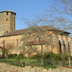
Église Saint-Laurent de Montégut
4.2 km
Église Saint-Jean-Baptiste de Lannemaignan
3.5 km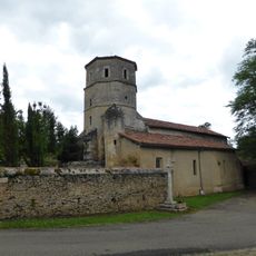
Église Sainte-Madeleine de Mauléon-d'Armagnac
722 m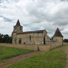
Église de Cucassé
3.5 km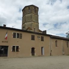
Église Saint-Canne de Saint-Canne
3.2 km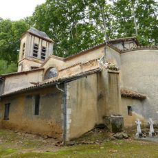
Église Saint-Martin de l'Aiguillon
4.1 km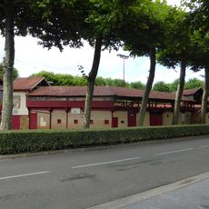
Arènes Jean Bartherotte d'Estang
5.1 km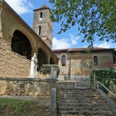
Église Saint-Jean-Baptiste de Maupas
5.1 km
Église Saint-Michel de Monclar
4.6 km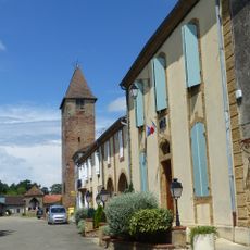
Église Saint-Pierre de Monguilhem
5 km
Château de Maniban
437 m
Maison du Gouverneur, Montégut
4.2 km
Wayside cross
5.4 km
Wayside cross
791 m
Work of art, mural
4.6 km
Wayside cross
4.2 km
Wayside cross
3.6 km
Monument aux Morts
4.2 km
Wayside cross
733 m
Memorial, war memorial
4.9 km
Wayside cross
4.8 km
Memorial, war memorial
5 km
Monument aux Morts
4.6 km
Wayside cross
4.7 km
Wayside cross
5.1 km
Wayside cross
4 km
Wayside shrine
1.4 km
Monument aux Morts
5.1 kmReviews
Visited this place? Tap the stars to rate it and share your experience / photos with the community! Try now! You can cancel it anytime.
Discover hidden gems everywhere you go!
From secret cafés to breathtaking viewpoints, skip the crowded tourist spots and find places that match your style. Our app makes it easy with voice search, smart filtering, route optimization, and insider tips from travelers worldwide. Download now for the complete mobile experience.

A unique approach to discovering new places❞
— Le Figaro
All the places worth exploring❞
— France Info
A tailor-made excursion in just a few clicks❞
— 20 Minutes