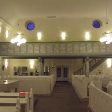
Evangelical Church
2.5 km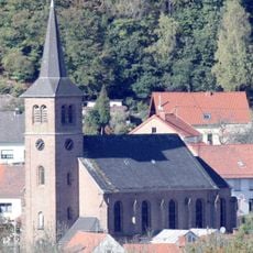
Mariä Himmelfahrt
3.3 km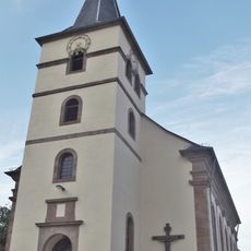
St. Anna
2.9 km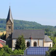
St. Laurentius
2.7 km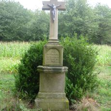
Reitscheider Kreuz
2.8 km
Gruben-Berg
2.8 km
Homerskopf
760 m
Fehren-Berg
2.3 km
Hofberg bei Reitscheid
2.9 km
Naturschutzgebiet "Hofberg bei Reitscheid" (N 6409-303)
3 km
Landschaftsschutzgebiet "Flachshübel, südlich Wolfersweiler" (L 6409-302)
2.2 km
Hofberg bei Reitscheid
3.1 km
Landschaftsschutzgebiet "Östlich Nohfelden" (L 6409-301)
3.2 km
Landschaftsschutzgebiet im Landkreis St. Wendel - in der Gemeinde Nohfelden
1.2 km
Flachshübel, s. Wolfersweiler
2.3 km
Östl. Nohfelden
3.3 km
Landschaftsschutzgebiet im Landkreis St. Wendel - in der Gemeinde Namborn
1.9 km
Landschaftsschutzgebiet im Landkreis St. Wendel - in der Gemeinde Namborn
1.3 km
Bilderrahemn Sankt Wendeler Land
2.9 km
Wayside cross
3.3 km
Wayside cross
3.2 km
Wayside cross
2.7 km
Wayside cross
2.9 km
Wayside cross
2.7 km
Memorial
2.9 km
Allerburg
3 km
Minecart, vehicle
1.6 km
Ehrenmahl
2.4 kmReviews
Visited this place? Tap the stars to rate it and share your experience / photos with the community! Try now! You can cancel it anytime.
Discover hidden gems everywhere you go!
From secret cafés to breathtaking viewpoints, skip the crowded tourist spots and find places that match your style. Our app makes it easy with voice search, smart filtering, route optimization, and insider tips from travelers worldwide. Download now for the complete mobile experience.

A unique approach to discovering new places❞
— Le Figaro
All the places worth exploring❞
— France Info
A tailor-made excursion in just a few clicks❞
— 20 Minutes