Wayside shrine
Location: Saaldorf-Surheim
Inscription: 1765
GPS coordinates: 47.87504,12.95858
Latest update: November 19, 2025 13:01
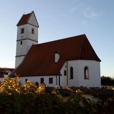
St. Stephan
76 m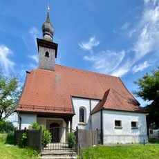
Katholische Filialkirche St. Nikolaus
1.5 km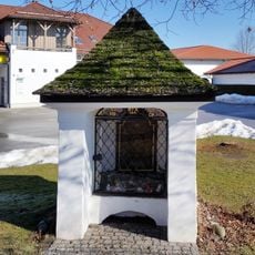
Kapelle
5 m
Hofkapelle
915 m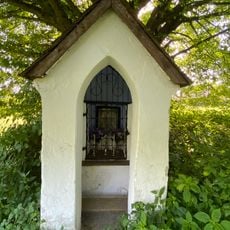
Kapellenbildstock
909 m
Cultural heritage D-1-8143-0236 in Saaldorf-Surheim
1.5 km
Kapelle Maria Hilf
722 m
Bauernhaus, Mittertennhaus
1.5 km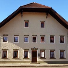
Bauernhaus
621 m
Wohnteil des ehemaligen Bauernhauses
1.4 km
Bauernhaus, Mittertennhaus
1.2 km
Getreidekasten
539 m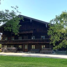
Bauernhaus
1.8 km
Wohnteil des ehemaligen Bauernhauses
414 m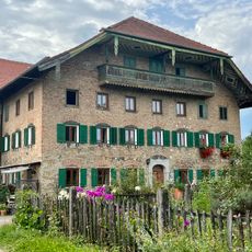
Wohnteil des ehemaligen Bauernhauses
608 m
Kriegerdenkmal Schulstraße 5 in Saaldorf-Surheim
51 m
Wohnteil des ehemaligen Bauernhauses
1.8 km
Ehemaliges Bauernhaus, Mittertennhaus,
328 m
Wohnteil des ehemaligen Bauernhauses
522 m
Cultural heritage D-1-8143-0231 in Saaldorf-Surheim
85 m
Wohnteil des ehemaligen Bauernhauses
1.6 km
Austragshaus Ragging 9 in Saaldorf-Surheim
629 m
Wohnteil des ehemaligen Bauernhauses
862 m
Kapelle Schulstraße 5 in Saaldorf-Surheim
52 m
Amphitheater an der Grundschule
225 m
Gelobt sei Jesus Christus
1.5 km
Wayside cross
1.5 km
Maria vom guten Rat
449 mReviews
Visited this place? Tap the stars to rate it and share your experience / photos with the community! Try now! You can cancel it anytime.
Discover hidden gems everywhere you go!
From secret cafés to breathtaking viewpoints, skip the crowded tourist spots and find places that match your style. Our app makes it easy with voice search, smart filtering, route optimization, and insider tips from travelers worldwide. Download now for the complete mobile experience.

A unique approach to discovering new places❞
— Le Figaro
All the places worth exploring❞
— France Info
A tailor-made excursion in just a few clicks❞
— 20 Minutes