Hochwassermarke
Location: Bad Säckingen
Inscription: Wasserstand des Rheines am 18 September 1852.
GPS coordinates: 47.55164,7.95011
Latest update: November 22, 2025 05:34
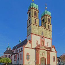
Fridolinsmünster
151 m
Säckingen Abbey
152 m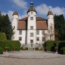
Schloss Schönau
146 m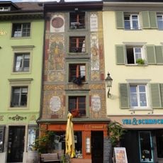
Category:Fuchshöhle (Bad Säckingen)
150 m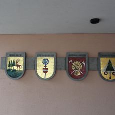
Wappen der Stadtteile
134 m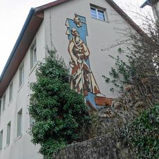
Fridolinsankunft in Säckingen
34 m
Bronze-Medaillon
142 m
Evolution
139 m
Kater Hiddigeigei
125 m
Trompeter-Brunnen
116 m
Rheinwelle
128 m
Fassadenschmuck
59 m
Graffito
61 m
Marienbild
44 m
Rathausplatz
94 m
Trompeter-Statue
149 m
St. Fridolin
140 m
Stadtbrunnen
126 m
Regierungspräsidium Freiburg Dienstsitz Bad Säckingen
76 m
Pavillion
134 m
Granitfrucht
120 m
Böögverbrennung
39 m
Hl. Franz Xaver
62 m
Hl. Johannes Nepomuk
119 m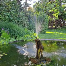
Knabe im Schlosspark
137 m
Der Kater Hiddigeigei
152 m
Work of art, sculpture
65 m
Mural, Work of art
13 mReviews
Visited this place? Tap the stars to rate it and share your experience / photos with the community! Try now! You can cancel it anytime.
Discover hidden gems everywhere you go!
From secret cafés to breathtaking viewpoints, skip the crowded tourist spots and find places that match your style. Our app makes it easy with voice search, smart filtering, route optimization, and insider tips from travelers worldwide. Download now for the complete mobile experience.

A unique approach to discovering new places❞
— Le Figaro
All the places worth exploring❞
— France Info
A tailor-made excursion in just a few clicks❞
— 20 Minutes