High water mark
Location: Stephansposching
Inscription: Hochwasser Juni 2013
GPS coordinates: 48.83939,12.86843
Latest update: November 15, 2025 11:29
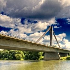
Metten motorway bridge
1.9 km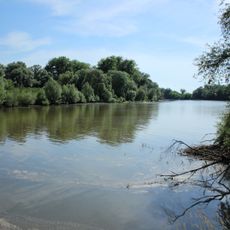
Vogelfreistätte Graureiherkolonie bei Kleinschwarzach
1.5 km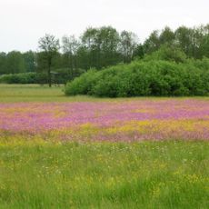
Runstwiesen und Totenmoos
2 km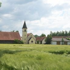
Katholische Filialkirche St. Petrus und Laurentius
2.1 km
Katholische Filialkirche St. Johannes der Täufer
860 m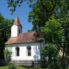
Kapelle
641 m
Kanal Saßgraben; Sulzbach in Mariaposching
2.3 km
Cultural heritage D-2-7143-0134 in Stephansposching
2.1 km
Stall Fehmbach 24a in Stephansposching
1.4 km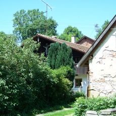
Wohnstallhaus
687 m
Stall Zeitldorf 5 in Metten
639 m
Cultural heritage D-2-7143-0246 in Offenberg
860 m
Cultural heritage D-2-7143-0061 in Offenberg
1.5 km
Cultural heritage D-2-7143-0121 in Stephansposching
1.2 km
Cultural heritage D-2-7143-0279 Stephansposching
1.6 km
Cultural heritage D-2-7143-0042 in Mariaposching
1.8 km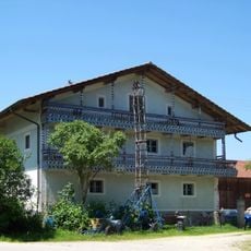
Wohnstallhaus
622 m
Cultural heritage D-2-7143-0104 in Stephansposching
2.2 km
Taubenhaus Zeitldorf 6 in Metten
699 m
Traidkasten
1.4 km
Traidkasten
752 m
Wohnstallhaus eines Vierseithofs
1.4 km
Ehemaliges Wohnstallhaus
2 km
Scheune Zeitldorf 5 in Metten
663 m
Wayside cross
1.8 km
Wayside cross
977 m
Wayside shrine
2.2 km
Aircraft model, monument featuring aircraft
1.8 kmReviews
Visited this place? Tap the stars to rate it and share your experience / photos with the community! Try now! You can cancel it anytime.
Discover hidden gems everywhere you go!
From secret cafés to breathtaking viewpoints, skip the crowded tourist spots and find places that match your style. Our app makes it easy with voice search, smart filtering, route optimization, and insider tips from travelers worldwide. Download now for the complete mobile experience.

A unique approach to discovering new places❞
— Le Figaro
All the places worth exploring❞
— France Info
A tailor-made excursion in just a few clicks❞
— 20 Minutes