High water mark
Location: Mariaposching
Inscription: Hochwasser Juni 2013
GPS coordinates: 48.82577,12.80783
Latest update: November 6, 2025 18:56
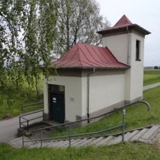
Schöpfwerk Mariaposching
1.2 km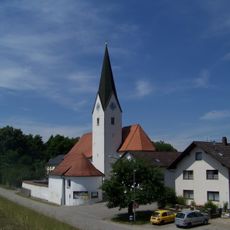
Mariä Geburt (Mariaposching)
281 m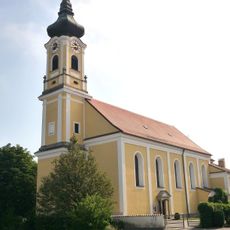
St. Stephan
867 m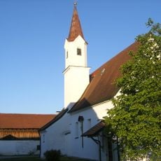
Katholische Filialkirche Unserer lieben Frau
979 m
Cultural heritage D-2-7142-0374 in Mariaposching
280 m
Cultural heritage D-2-7142-0378 in Stephansposching
980 m
Cultural heritage D-2-7142-0070 in Stephansposching
1.2 km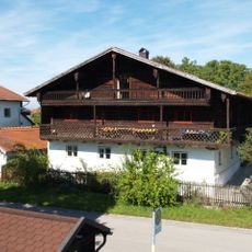
Herzog-Odilo-Straße 31 (Mariaposching)
42 m
Kanal Auf der Au; Hohe Gwand; Stadtfeldstraße in Mariaposching
1.3 km
Cultural heritage D-2-7142-0069 in Stephansposching
1 km
Cultural heritage D-2-7142-0188 in Mariaposching
1.2 km
Bauernhaus
1.2 km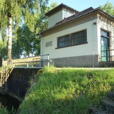
Schöpfwerk Mariaposching
1.2 km
Nebengebäude Stadtfeldstraße 4 in Mariaposching
325 m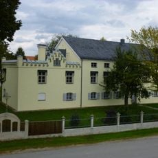
Stadtfeldstraße 4
316 m
Cultural heritage D-2-7142-0370 in Stephansposching
872 m
Pfarrhaus
886 m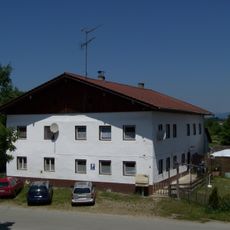
Gasthaus
51 m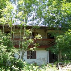
Wohnteil eines ehemaligen Wohnstallhauses
92 m
Bauernhaus
150 m
Friedhofskapelle Kirchenweg 1 in Mariaposching
266 m
High water mark
272 m
Wayside cross
1 km
Wayside cross
248 m
Scenic viewpoint
350 m
Memorial, war memorial
273 m
Wayside cross
59 m
Memorial, commemorative plaque
967 mReviews
Visited this place? Tap the stars to rate it and share your experience / photos with the community! Try now! You can cancel it anytime.
Discover hidden gems everywhere you go!
From secret cafés to breathtaking viewpoints, skip the crowded tourist spots and find places that match your style. Our app makes it easy with voice search, smart filtering, route optimization, and insider tips from travelers worldwide. Download now for the complete mobile experience.

A unique approach to discovering new places❞
— Le Figaro
All the places worth exploring❞
— France Info
A tailor-made excursion in just a few clicks❞
— 20 Minutes