Baruther Glashütte
1.8 km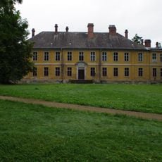
Schloss Golßen
5 km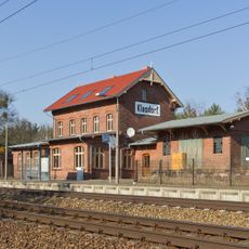
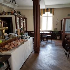
Am Bahnhof
3.8 km
Glashütte
1.2 km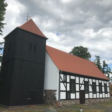
Dorfkirche (Rietzneuendorf/Nowa Wjas pśi rĕce)
4.5 km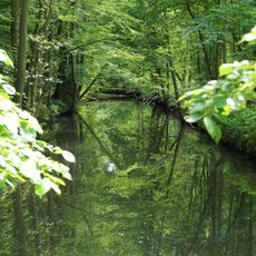
Prierow bei Golßen
4.2 km
Rietzneuendorfer Wassermühle
4.3 km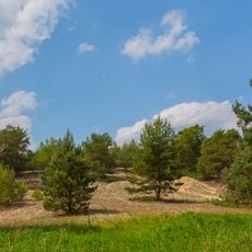
Friedrichshof
3.4 km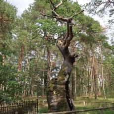
Bosdorfs Eiche
1.2 km
Prierow bei Golßen
4.6 km
Großer Werach
5 km
Naturdenkmal Quellgebiet Johannismühle (Quellgebiet) 2,0 km WSW Ortszentrum, NO [[Forsthaus Johannismühle]]; Flur 2, Flurstück 63, 73 (Sondergebiet, jeweils nur Wiese) in Klasdorf
4.9 km
Glashütte/Mochheide
673 m
Naturdenkmal Sumpfzypresse (Taxodium distichum) (Baum) Glashütte, O-Teil, W alte Schule; Flur 11, Flurstück 88 in Klasdorf
1.3 km
Naturdenkmal Quellgebiet ([[Quellgebiet]]) Johannismühle; Flur 2, Flurstück 15, 45, 63, 73-76 in Klasdorf
4.7 km
Naturdenkmal Pechhüttenkiefern, Waldkiefer (Pinus sylvestris) bei Kretschmanns Hütte (Baumgruppe) Glashütte, südlicher Ortsrand (Klasdorf, 1,6 km ONO Ortszentrum); Flur 7, 11, Flurstück 34 bzw. 74, 75 (hist. 40/2), 44 in Klasdorf
1.6 km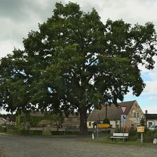
Naturdenkmal Dorfeiche Klasdorf (Baum) Klasdorf, 0,2 km NW Ortszentrum Dornswalde, Staakower Weg, 0,1 km O Denkmal; Flur 1, Flurstück 95 in Klasdorf
3.2 km
Naturdenkmal Friedenseiche (Baum) Verkehrsinsel im Dorfmittelpunkt; Flur 4, Flurstück 7/1 in Dornswalde
3.1 km
Naturdenkmal Märchenwald - Relikt natürlicher Wälder, Waldkiefer (Pinus sylvestris) 1,5 km NO Denkmal Forstabteilung 144 a7, Flur 1, Flurstück 27 in Dornswalde
4.4 km
Naturdenkmal Siteleiche (Baum) Glashütte, O Ort auf Wiese, 0,6 km O Neue Hütte; Flur 11, Flurstück 9 in Klasdorf
1.2 km
Naturdenkmal Eiche (Baum) 2,7 km SO Denkmal; Flur 6, Flurstück 123 (Neue Wiese) in Dornswalde
1.5 km
Geweihentwicklung
4.6 km
Findlingsgarten
1.3 km
Memorial stone, memorial
5 km
Tomb
1.8 km
Denkmal für die gefallenen im 2. Weltkrieg
3 km
1914-1918/1939-1945
4.8 km
1914-1918
3.1 kmReviews
Visited this place? Tap the stars to rate it and share your experience / photos with the community! Try now! You can cancel it anytime.
Discover hidden gems everywhere you go!
From secret cafés to breathtaking viewpoints, skip the crowded tourist spots and find places that match your style. Our app makes it easy with voice search, smart filtering, route optimization, and insider tips from travelers worldwide. Download now for the complete mobile experience.

A unique approach to discovering new places❞
— Le Figaro
All the places worth exploring❞
— France Info
A tailor-made excursion in just a few clicks❞
— 20 Minutes