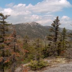
Mount Cardigan
4.1 km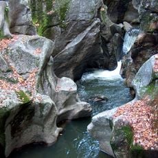
Sculptured Rocks Natural Area
5.6 km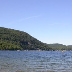
Wellington State Park
5.8 km
Tenney Mountain
10.5 km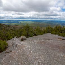
Cardigan Mountain State Park
5.8 km
Canaan Street Historic District
14.3 km
Bristol Town Hall
12.7 km
Central Square Historic District
12.7 km
Canaan Meetinghouse
14.4 km
Dorchester Common Historic District
13 km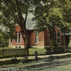
Minot-Sleeper Library
12.6 km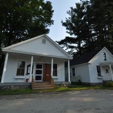
Hebron Village Historic District
6.3 km
Owls Head
6.5 km
Murray Hill Summer Home District
14.2 km
Smith River Observatory
13 km
Ayers Island Dam
13.6 km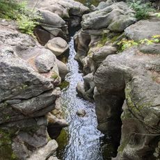
Sculptured Rocks Geologic Site
6 km
Canaan Street Lake Beach
14.3 km
Baker Floodwater Reservoir Site 8 Dam
13.7 km
Kilton Pond
11.9 km
Pike's Peak
12.9 km
Scenic viewpoint
4.1 km
Scenic viewpoint
4.1 km
Scenic viewpoint
4.6 km
Scenic viewpoint
7.8 km
Scenic viewpoint
8 km
Jumping Off Point
9.2 km
Elizabeth Falls
2.9 kmReviews
Visited this place? Tap the stars to rate it and share your experience / photos with the community! Try now! You can cancel it anytime.
Discover hidden gems everywhere you go!
From secret cafés to breathtaking viewpoints, skip the crowded tourist spots and find places that match your style. Our app makes it easy with voice search, smart filtering, route optimization, and insider tips from travelers worldwide. Download now for the complete mobile experience.

A unique approach to discovering new places❞
— Le Figaro
All the places worth exploring❞
— France Info
A tailor-made excursion in just a few clicks❞
— 20 Minutes