MiG–21
Location: Szekszárd
Subject:
GPS coordinates: 46.32364,18.69824
Latest update: November 20, 2025 02:35
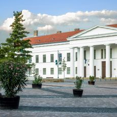
Tolna County Hall (former)
2.9 km
Szekszárd Abbey
2.9 km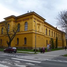
Wosinsky Mór County Museum
2.8 km
Petrits Gingerbread Museum
2.8 km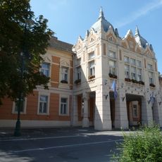
Town Hall (Szekszárd)
2.8 km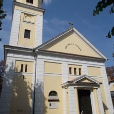
Lutheran Church, Szekszárd
2.9 km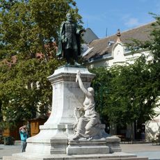
Garay János-szobor
2.8 km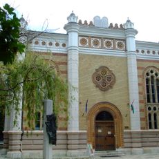
Szekszárd Synagogue
2.9 km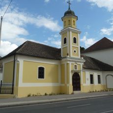
Saints John the Baptist and Paul Chapel, Szekszárd
2.5 km
Bezerédj Street 1, Szekszárd
2.8 km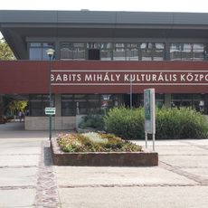
Babits Mihály Kulturális Központ
2.9 km
Der Winzer
2.1 km
Franz Liszt
2.8 km
Diadalív
2.9 km
Őszike
2.8 km
Szőlő-szobor
2.5 km
Millenniumi Kapu
2.8 km
Szent István király
2.9 km
Vom Keller nach Hause
2.1 km
Bőségkosár
2.2 km
Borkút
2.8 km
Háry János
2.8 km
Ülő nő
2.1 km
Álló nő szobra
2.3 km
Theater
2.8 km
Ülő nő
2.5 km
Ivó szarvas
2.8 km
Kálvária kilátó (Szőlő-szobor)
2.5 kmReviews
Visited this place? Tap the stars to rate it and share your experience / photos with the community! Try now! You can cancel it anytime.
Discover hidden gems everywhere you go!
From secret cafés to breathtaking viewpoints, skip the crowded tourist spots and find places that match your style. Our app makes it easy with voice search, smart filtering, route optimization, and insider tips from travelers worldwide. Download now for the complete mobile experience.

A unique approach to discovering new places❞
— Le Figaro
All the places worth exploring❞
— France Info
A tailor-made excursion in just a few clicks❞
— 20 Minutes